
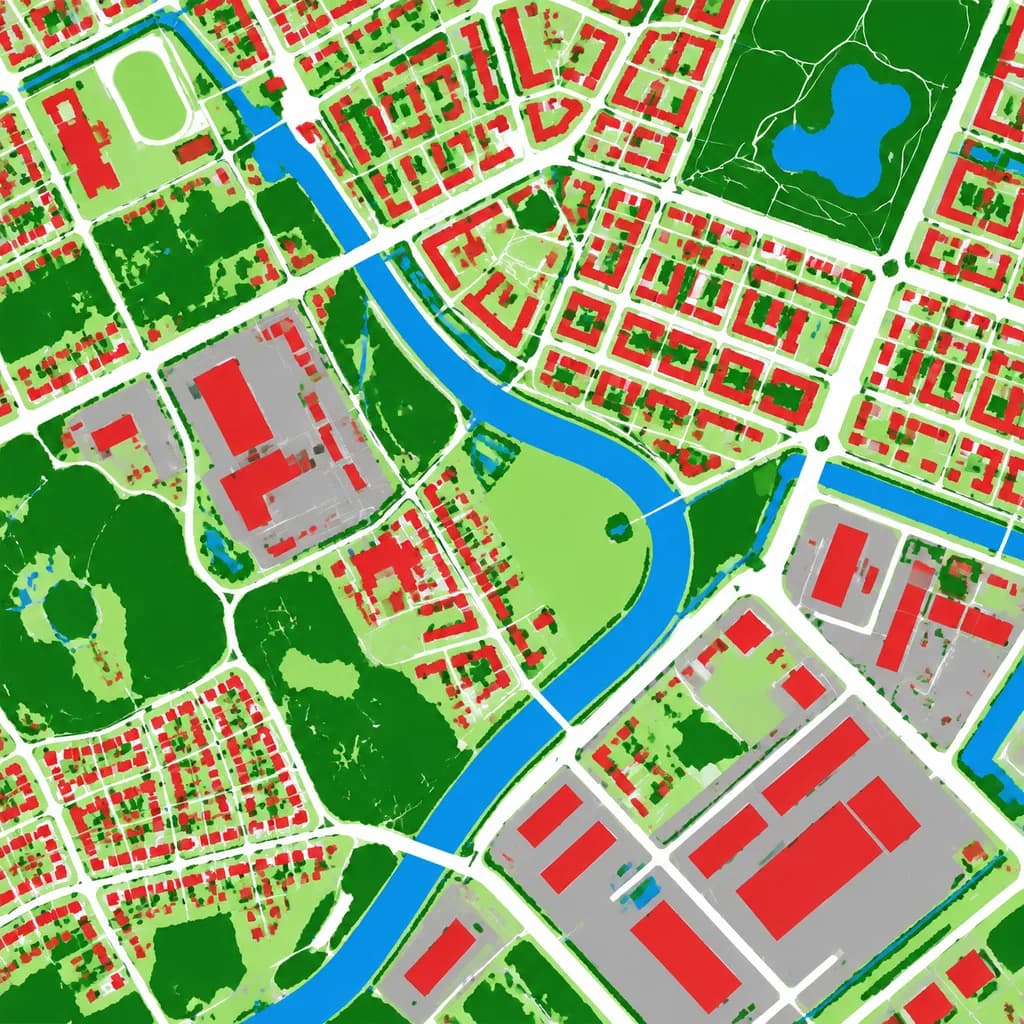
Havadan Arazi Örtüsü Haritası
Bir hava fotoğrafını temiz bir sahte renkli arazi örtüsü haritasına dönüştürür. Kategori renklerini harita ihtiyaçlarınıza göre uyarlayın.
İstem
Using the reference photo as the source geography and urban layout, transform the monochrome aerial photograph into a clean false-color land-cover classification map. Maintain the identical top-down orthographic viewpoint and street/block structure, replacing photographic texture with flat segmented vector-style regions and crisp boundaries. Classify the scene into 6 categories: [buildings as red], [roads and paved corridors as white], [water bodies and canals as blue], [dense vegetation and parks as dark green], [open grass or sparse green areas as light green], and [industrial or open paved facility areas as gray]. High-contrast thematic cartography, flat shading, with no labels, text, legends, borders, or film markings.
Neleri özelleştirebilirsiniz
Oluşturmadan önce istemin bu kısımlarını kendi konunuz veya metninizle değiştirin.
[buildings as red]yer tutucu[roads and paved corridors as white]yer tutucu[water bodies and canals as blue]yer tutucu[dense vegetation and parks as dark green]yer tutucu[open grass or sparse green areas as light green]yer tutucu[industrial or open paved facility areas as gray]yer tutucu
İstem ayrıntıları
- Kategori
- İnfografik / Eğitim
- Model
- GPT IMAGE 2
- Görsel başına maliyet
- 1K: 43 kredi · 2K: 86 kredi · 4K: 143 kredi
- En boy oranı
- 1:1
- Eklenme