
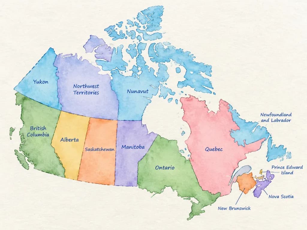
Watercolor Administrative Country Map
Generates a clean watercolor map highlighting administrative regions with handwritten labels. Replace the country placeholder to create maps for educational or infographic use.
Prompt
A detailed watercolor-style map of [COUNTRY] on lightly textured paper. Soft flowing watercolor washes in distinct, harmonious colors for each first-level administrative division. All federal states, provinces, or regions are accurately separated by clear borders and labeled directly inside their areas in neat blue ballpoint-pen handwriting. Educational infographic style, clean composition, high legibility, subtle paper grain texture, gentle shading, and balanced negative space on a bright, clean background. No cities, roads, flags, logos, or watermarks.
What you can customize
Swap these parts of the prompt for your own subject or wording before you generate.
[COUNTRY]placeholder
Prompt details
- Category
- Infographic / Education
- Model
- Nano Banana 2
- Cost per image
- 1K: 54 credits · 2K: 81 credits · 4K: 122 credits
- Aspect ratio
- 4:3
- Added