
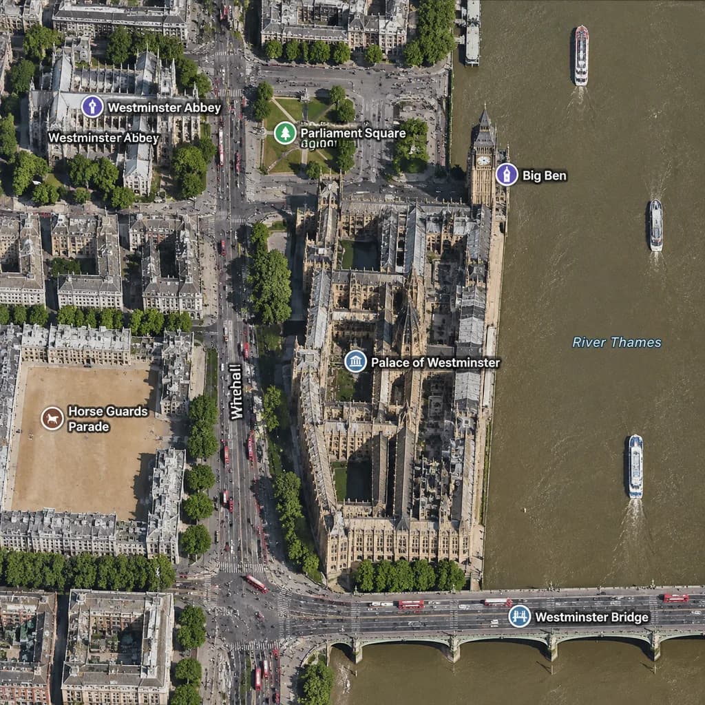
Satellite Map of London Westminster
Generate an orthographic satellite map view of the Westminster district with cartographic labels. Customize the city, landmarks, bridge, and street labels to map any location.
Prompt
A realistic top-down satellite map view of central [London], focused closely on the area around [Big Ben] and the Palace of Westminster beside the River Thames. Orthographic aerial perspective reminiscent of a modern digital mapping service or satellite photography layer, featuring detailed building rooftops, roads, trees with cast shadows, and natural brownish river water. The Palace of Westminster complex is oriented vertically near the center-right along the river's western bank, with [Big Ben] at its northeast corner near the water. A bridge labeled "[Westminster Bridge]" spans horizontally across the river near the bottom edge. Includes crisp digital map label overlays: "[Westminster Abbey]", "[Parliament Square]", "Big Ben", "Palace of Westminster", "[Westminster Bridge]", and "Horse Guards Parade", plus "Whitehall" labeled along the vertical road on the left. The layout features [Westminster Abbey] in the upper-left, [Parliament Square] above the palace, Horse Guards Parade as a sandy parade ground in the lower-left, dense urban blocks on the left half, and the River Thames with embankments and small boats on the right.
What you can customize
Swap these parts of the prompt for your own subject or wording before you generate.
[London]placeholder[Big Ben]placeholder[Westminster Bridge]placeholder[Westminster Abbey]placeholder[Parliament Square]placeholder“Big Ben”quoted wording“Palace of Westminster”quoted wording“Horse Guards Parade”quoted wording
Prompt details
- Category
- Infographic / Education
- Model
- GPT IMAGE 2
- Cost per image
- 1K: 43 credits · 2K: 86 credits · 4K: 143 credits
- Aspect ratio
- 1:1
- Added