
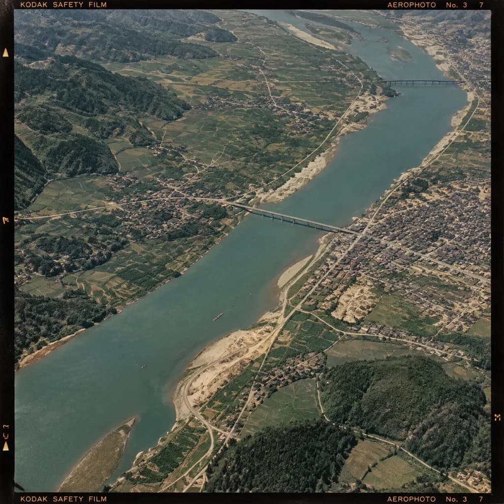
Historical Aerial Photo Colorization
Colorizes vintage monochrome aerial photographs with authentic archival tones while preserving original film borders. Modify the bracketed surface color palettes to match specific geographic regions.
Prompt
Colorize the monochrome historical aerial photograph from the reference photo, preserving the exact original framing, camera angle, scale, film borders, edge markings, and geographic structures. Use [a secondary aerial photo as a color reference] to infer realistic surface tones: [river water in muted blue-green], [vegetation and farmland in varied dark greens], [bare soil, sand, and construction sites in tan-beige], and [roads, buildings, and roofs in subdued gray to light brown]. Maintain an authentic vintage archival film aesthetic rather than modern satellite imagery, with restrained saturation, subtle natural contrast, and consistent exposure across the scene.
What you can customize
Swap these parts of the prompt for your own subject or wording before you generate.
[a secondary aerial photo as a color reference]placeholder[river water in muted blue-green]placeholder[vegetation and farmland in varied dark greens]placeholder[bare soil, sand, and construction sites in tan-beige]placeholder[roads, buildings, and roofs in subdued gray to light brown]placeholder
Prompt details
- Category
- Other
- Model
- GPT IMAGE 2.5 Flare
- Cost per image
- 1K: 11 credits · 2K: 22 credits · 4K: 36 credits
- Aspect ratio
- 1:1
- Added