
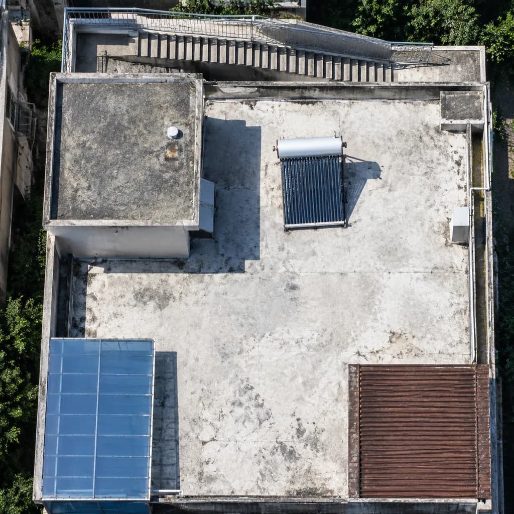
High-Resolution Rooftop Satellite Imagery Enhancement
Refines and sharpens blurry aerial crops into crisp satellite imagery with clear structural features. Adjust building elements or equipment details to suit different rooftop surveys.
Prompt
A high-resolution nadir satellite aerial crop enhancing the rooftop scene from the reference photo. Maintain the identical building geometry, staircase along the top edge, rooftop enclosure, [blue-tinted awning] at the lower left, and [brown slatted roof] at the lower right. Sharpen all structural edges, slightly correct perspective to a true top-down orthophoto, increase tonal contrast, and eliminate compression artifacts. Ensure rooftop equipment is distinctly legible, particularly clarifying the single solar water heater on the white roof as a crisp rectangular collector panel with a cylindrical storage tank and a sharp cast shadow. Authentic high-resolution Earth-observation optical satellite imagery style, tightly cropped.
What you can customize
Swap these parts of the prompt for your own subject or wording before you generate.
[blue-tinted awning]placeholder[brown slatted roof]placeholder
Prompt details
- Category
- Other
- Model
- GPT IMAGE 2.5 Flare
- Cost per image
- 1K: 11 credits · 2K: 22 credits · 4K: 36 credits
- Aspect ratio
- 1:1
- Added