
Poster & Illustration
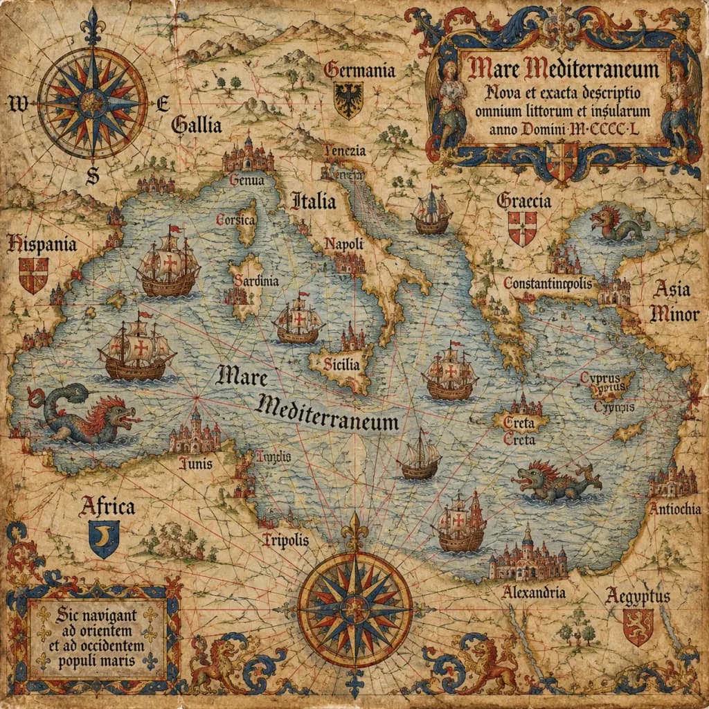
Fifteenth Century Antique Portolan Chart
This prompt creates an authentic medieval portolan chart on weathered vellum with classic cartographic details. Replace the bracketed region to map any sea, coastline, or imaginary world.
portolan chartantique mapcartographynauticalmedievalvellum
Prompt
An antique 15th-century style portolan chart of [the Mediterranean Sea], illustrated on aged parchment vellum. A dense navigational network of red, black, and gold rhumb lines radiates across the map. Features hand-lettered Latin coastal names, miniature caravel ships sailing the waters, mythical sea monsters, an ornate compass rose cartouche, and an elaborate gothic title scroll.
What you can customize
Swap these parts of the prompt for your own subject or wording before you generate.
[the Mediterranean Sea]placeholder
Prompt details
- Category
- Poster & Illustration
- Model
- GPT IMAGE 2.5 Sunburst
- Cost per image
- 1K: 11 credits · 2K: 22 credits · 4K: 36 credits
- Aspect ratio
- 1:1
- Added