
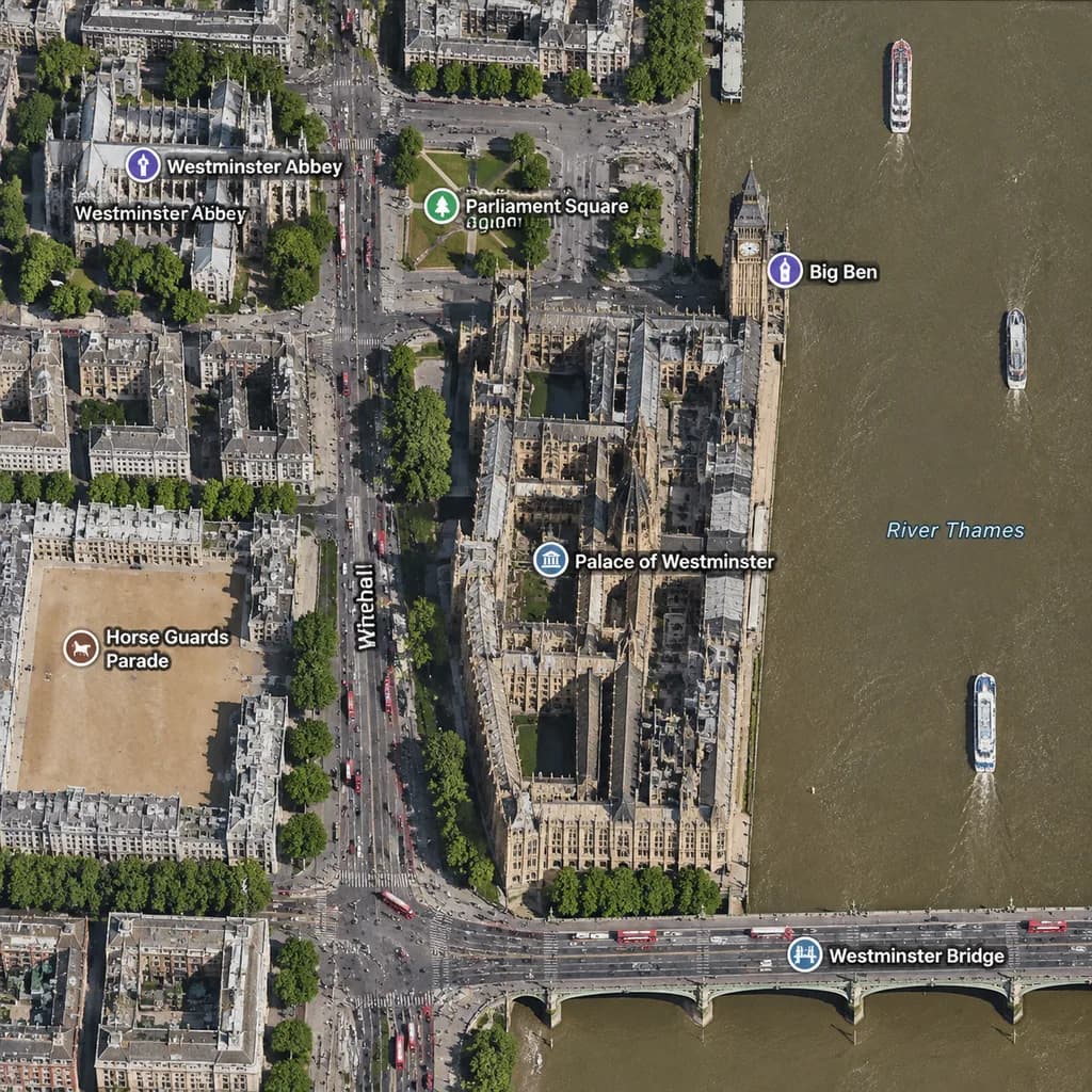
Bản đồ vệ tinh Westminster London
Tạo chế độ xem bản đồ vệ tinh trực giao của khu vực Westminster với các nhãn chú thích địa lý. Tùy chỉnh thành phố, địa danh và cầu để vẽ bất kỳ vị trí nào.
Prompt
A realistic top-down satellite map view of central [London], focused closely on the area around [Big Ben] and the Palace of Westminster beside the River Thames. Orthographic aerial perspective reminiscent of a modern digital mapping service or satellite photography layer, featuring detailed building rooftops, roads, trees with cast shadows, and natural brownish river water. The Palace of Westminster complex is oriented vertically near the center-right along the river's western bank, with [Big Ben] at its northeast corner near the water. A bridge labeled "[Westminster Bridge]" spans horizontally across the river near the bottom edge. Includes crisp digital map label overlays: "[Westminster Abbey]", "[Parliament Square]", "Big Ben", "Palace of Westminster", "[Westminster Bridge]", and "Horse Guards Parade", plus "Whitehall" labeled along the vertical road on the left. The layout features [Westminster Abbey] in the upper-left, [Parliament Square] above the palace, Horse Guards Parade as a sandy parade ground in the lower-left, dense urban blocks on the left half, and the River Thames with embankments and small boats on the right.
Những phần bạn có thể tùy chỉnh
Trước khi tạo ảnh, hãy thay các phần này của prompt bằng chủ đề hoặc nội dung của bạn.
[London]chỗ giữ chỗ[Big Ben]chỗ giữ chỗ[Westminster Bridge]chỗ giữ chỗ[Westminster Abbey]chỗ giữ chỗ[Parliament Square]chỗ giữ chỗ“Big Ben”văn bản trong ngoặc kép“Palace of Westminster”văn bản trong ngoặc kép“Horse Guards Parade”văn bản trong ngoặc kép
Chi tiết prompt
- Danh mục
- Infographic / Giáo dục
- Mô hình
- GPT IMAGE 2
- Chi phí mỗi ảnh
- 1K: 43 tín dụng · 2K: 86 tín dụng · 4K: 143 tín dụng
- Tỷ lệ khung hình
- 1:1
- Ngày thêm