
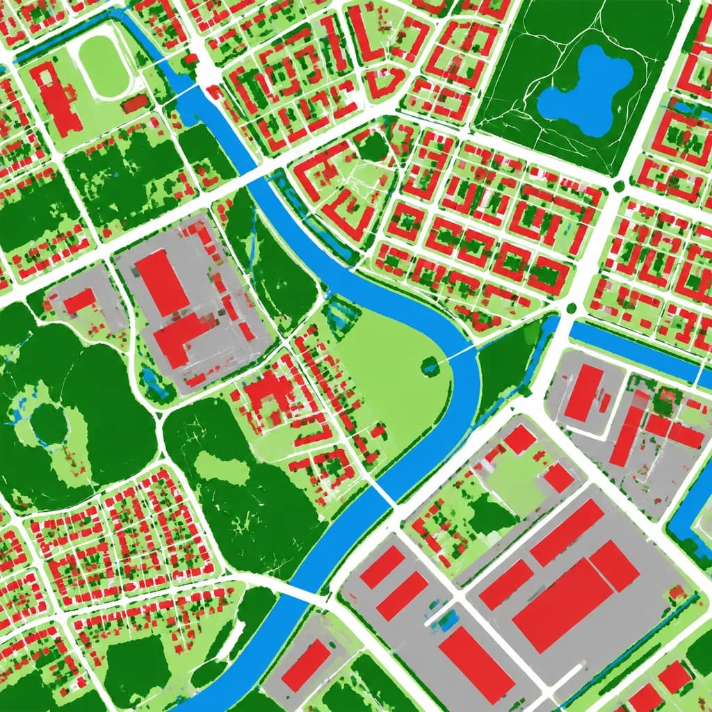
Bản Đồ Phân Loại Lớp Phủ Đất
Chuyển đổi ảnh chụp từ trên cao thành bản đồ phân loại lớp phủ đất giả màu rõ ràng. Tùy chỉnh màu các phân loại theo nhu cầu vẽ bản đồ.
Prompt
Using the reference photo as the source geography and urban layout, transform the monochrome aerial photograph into a clean false-color land-cover classification map. Maintain the identical top-down orthographic viewpoint and street/block structure, replacing photographic texture with flat segmented vector-style regions and crisp boundaries. Classify the scene into 6 categories: [buildings as red], [roads and paved corridors as white], [water bodies and canals as blue], [dense vegetation and parks as dark green], [open grass or sparse green areas as light green], and [industrial or open paved facility areas as gray]. High-contrast thematic cartography, flat shading, with no labels, text, legends, borders, or film markings.
Những phần bạn có thể tùy chỉnh
Trước khi tạo ảnh, hãy thay các phần này của prompt bằng chủ đề hoặc nội dung của bạn.
[buildings as red]chỗ giữ chỗ[roads and paved corridors as white]chỗ giữ chỗ[water bodies and canals as blue]chỗ giữ chỗ[dense vegetation and parks as dark green]chỗ giữ chỗ[open grass or sparse green areas as light green]chỗ giữ chỗ[industrial or open paved facility areas as gray]chỗ giữ chỗ
Chi tiết prompt
- Danh mục
- Infographic / Giáo dục
- Mô hình
- GPT IMAGE 2
- Chi phí mỗi ảnh
- 1K: 43 tín dụng · 2K: 86 tín dụng · 4K: 143 tín dụng
- Tỷ lệ khung hình
- 1:1
- Ngày thêm