
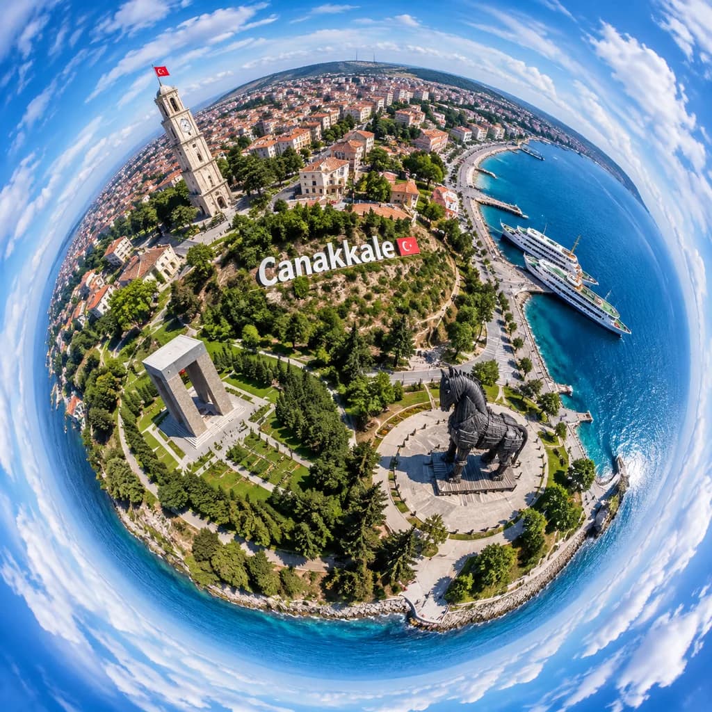
Tiny-Planet-Luftbild von Çanakkale
Erzeugt eine 360-Grad-Tiny-Planet-Drohnenaufnahme der Küsten-Wahrzeichen von Çanakkale. Passe Städtenamen und Monumente nach Belieben an.
Prompt
A dramatic ultra-wide aerial tiny-planet photograph of [Canakkale], Turkey, rendered in a full 360-degree stereographic projection where the city and waterfront form a compact spherical world surrounded by a swirling ring of blue sky and white clouds. The viewpoint is high above the shoreline in bright daytime with crisp summer light, realistic colors, and sharp photographic detail. A prominent hillside sign reading "[Canakkale]" is placed across the center of the miniature globe. On the upper-left of the sphere, a tall pale stone clock tower with a small red Turkish flag stands among dense urban blocks with red-tiled roofs. On the right side, a vivid blue harbor features two docked white passenger ferries and a curving coastline. In the lower-right quadrant, the monumental dark wooden Trojan horse statue rests on a circular plaza. In the lower-left quadrant, a large rectangular concrete memorial sits in lush green parkland. Winding paths, gardens, trees, and waterfront promenades encircle the edges. Realistic drone-photo aesthetic with deep depth of field, sharp textures, and fisheye tiny-planet distortion.
Was Sie anpassen können
Ersetzen Sie diese Teile des Prompts vor dem Generieren durch Ihr eigenes Motiv oder Ihren eigenen Text.
[Canakkale]Platzhalter
Prompt-Details
- Kategorie
- Poster und Illustration
- Modell
- GPT IMAGE 2
- Kosten pro Bild
- 1K: 43 Credits · 2K: 86 Credits · 4K: 143 Credits
- Seitenverhältnis
- 1:1
- Hinzugefügt