
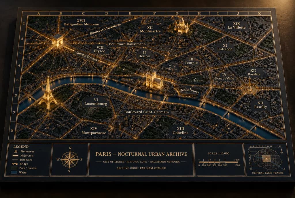
Architektonische Diorama-Karte einer Nachtstadt
Erzeugt eine beleuchtete physische Diorama-Karte von Paris mit erhabenen Wahrzeichen im Museumsarchiv-Stil. Stadt, Wahrzeichen und Beschriftungen sind anpassbar.
Prompt
A museum-quality physical diorama architectural archive map board titled "[PARIS — NOCTURNAL URBAN ARCHIVE]", showing [Paris] at night as an archival relief model with illuminated streets, raised sculptural landmarks, and cartographic borders. Setting & Canvas: Landscape 3:2 perspective view of a thick rectangular archival matte board resting on a dark matte tabletop. Angled slightly from above, front-facing, showing tactile board thickness and soft cast shadows. Color palette is dark navy, charcoal, and antique-gold with restrained warm amber illumination. Layout & Cartography: The city map fills most of the board, enclosed in a double-line gold border with an alphanumeric coordinate grid (letters A–K across the top, numbers 1–8 down the side). At the bottom, a structured information band is split into five distinct panels: 1) a legend panel, 2) a compass rose panel, 3) a large centered title/archive panel, 4) a scale bar panel, and 5) a locator-map panel. Map Details: Dense low-relief 3D urban model made of miniature matte plaster or resin buildings and engraved street blocks. A dark satin-navy river cuts horizontally through the lower-center with subtle reflections. Major boulevards, avenues, and bridges glow with fine amber light lines. Parks appear as darker textured green-black patches. Raised Landmarks: Exactly four prominent illuminated miniature 3D landmarks: 1) Eiffel Tower in the lower-left near the river, glowing gold; 2) Arc de Triomphe in the upper-left with radiating avenues; 3) Notre-Dame Cathedral on the central island; 4) Sacré-Cœur on the upper-right hill. All landmarks are finely sculpted, matte, and warmly illuminated. Annotations & Typography: Fine serif gold lettering directly on the map surface. Exactly 14 district labels: XVII Batignolles Monceau, VIII Élysée, IX Opéra, XIII Montmartre, XIX La Villette, X Entrepôt, II Bourse, III Temple, IV Hôtel de Ville, XI Bastille, XII Reuilly, XIII Gobelins, VI Luxembourg, XIV Montparnasse. Major route labels: Champs-Élysées, Boulevard Haussmann, Boulevard Saint-Germain, Boulevard Bessières. Bottom Information Band: - Center title panel: "[PARIS — NOCTURNAL URBAN ARCHIVE]", subtitle "[CITY OF LIGHTS · HISTORIC CORE · HAUSSMANN NETWORK]", and "[ARCHIVE CODE: PAR-NAM-2024-001]". - Legend panel: 5 symbolized items: Monument, Major Axis, Boulevard, Bridge, Park / Garden, Water. - Scale panel: "SCALE 1:10,000" with a segmented bar marked 0, 100, 200, 300, 400, 500, 1000 M. - Locator panel: small coordinate grid and miniature outline map labeled "CENTRAL PARIS FRANCE". Style: Hyper-realistic macro photograph of an architectural archive model, tactile paper grain, gold foil stamping, pinprick LED warmth, crisp central focal plane, soft subtle vignette. Constraints: No modern UI, no neon, no people, no glossy plastic, no digital overlays.
Was Sie anpassen können
Ersetzen Sie diese Teile des Prompts vor dem Generieren durch Ihr eigenes Motiv oder Ihren eigenen Text.
[PARIS — NOCTURNAL URBAN ARCHIVE]Platzhalter[Paris]Platzhalter[CITY OF LIGHTS · HISTORIC CORE · HAUSSMANN NETWORK]Platzhalter“[ARCHIVE CODE: PAR-NAM-2024-001]”Text in Anführungszeichen“SCALE 1:10,000”Text in Anführungszeichen“CENTRAL PARIS FRANCE”Text in Anführungszeichen
Prompt-Details
- Kategorie
- Infografik / Bildung
- Modell
- GPT IMAGE 2
- Kosten pro Bild
- 1K: 43 Credits · 2K: 86 Credits · 4K: 143 Credits
- Seitenverhältnis
- 3:2
- Hinzugefügt