
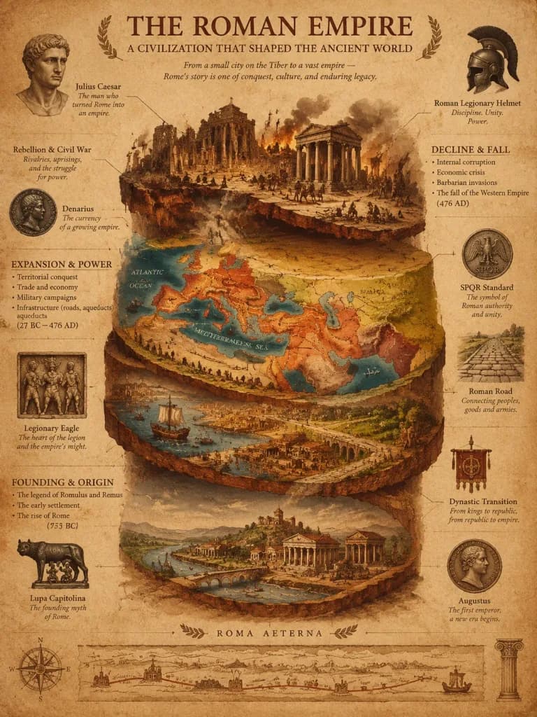
Archäologisches Stratigraphie-Poster Historischer Reiche
Erstellt eine museumsreife historische Infografik, die Aufstieg und Fall einer Zivilisation als geologische Schichten visualisiert. Reichename anpassen für andere Epochen.
Prompt
A luxury historical civilization stratigraphy poster of [the Roman Empire], visualized as a multi-layered archaeological cross-section. The bottom layer illustrates the founding settlement and core origin; the middle geological strata depict territorial expansion, economic trade routes, and military campaigns through richly colored soil layers; the fragmented upper layer displays internal collapse, rebellion, and systemic decline. Floating callout lines, styled like an archaeological field report crossed with a vintage military campaign map, point to detailed physical artifacts, battle insignias, currency standards, and dynastic transitions. Style inspired by the Tabula Peutingeriana, classical cartography, and high-end museum exhibition infographics. Rendered on warm sepia and deep terracotta aged parchment with subtle texture and patina. Elegant classical serif lettering combined with handwritten scholarly annotations, balanced with generous negative space. No modern digital elements, no neon glow, no holograms, no cartoon graphics.
Was Sie anpassen können
Ersetzen Sie diese Teile des Prompts vor dem Generieren durch Ihr eigenes Motiv oder Ihren eigenen Text.
[the Roman Empire]Platzhalter
Prompt-Details
- Kategorie
- Infografik / Bildung
- Modell
- GPT IMAGE 2
- Kosten pro Bild
- 1K: 43 Credits · 2K: 86 Credits · 4K: 143 Credits
- Seitenverhältnis
- 3:4
- Hinzugefügt