
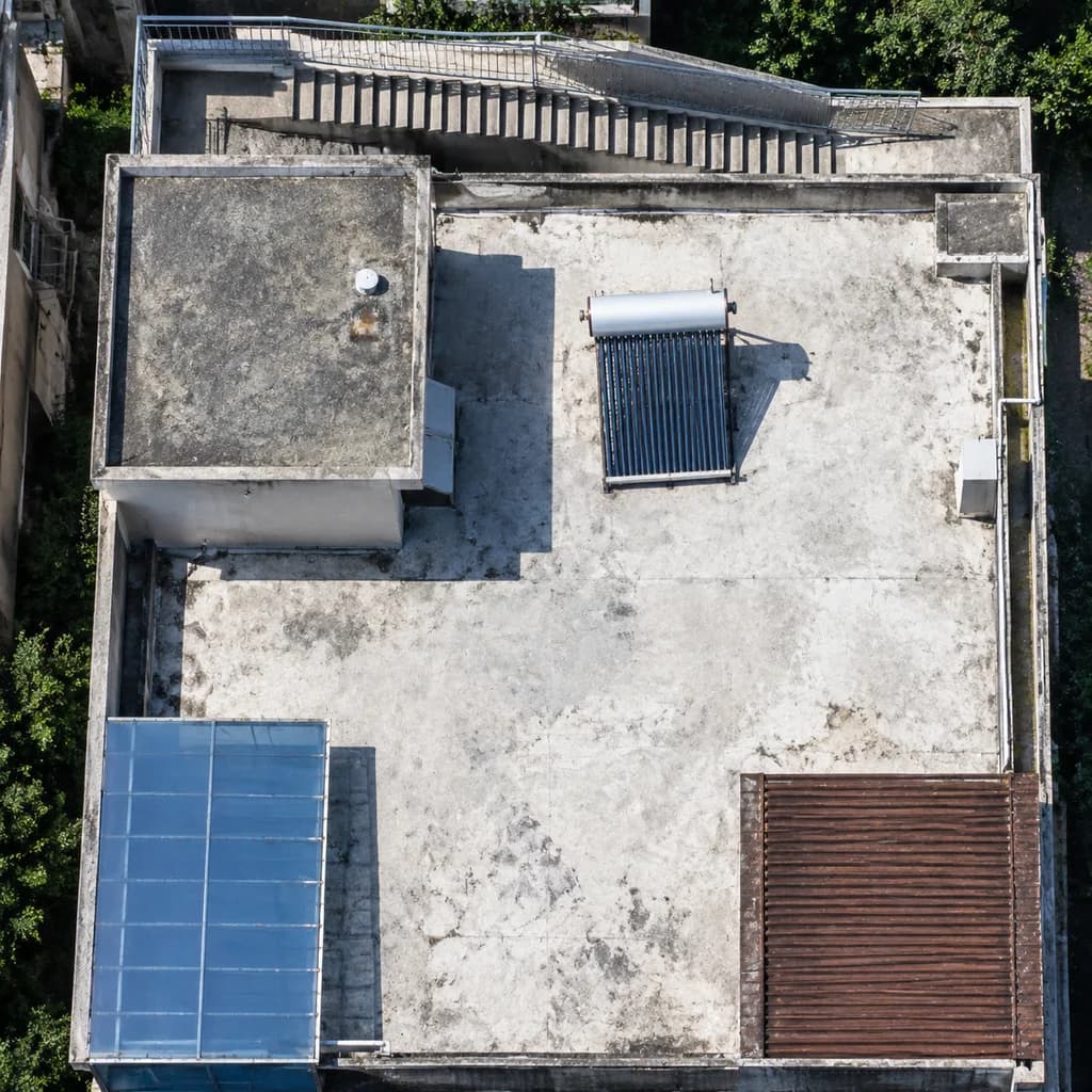
Hochauflösende Satellitenbild-Verbesserung von Dächern
Wandelt unscharfe Luftbildausschnitte in gestochen scharfe Satellitenbilder mit klaren Strukturen um. Passen Sie Gebäudeelemente für verschiedene Analysen an.
Prompt
A high-resolution nadir satellite aerial crop enhancing the rooftop scene from the reference photo. Maintain the identical building geometry, staircase along the top edge, rooftop enclosure, [blue-tinted awning] at the lower left, and [brown slatted roof] at the lower right. Sharpen all structural edges, slightly correct perspective to a true top-down orthophoto, increase tonal contrast, and eliminate compression artifacts. Ensure rooftop equipment is distinctly legible, particularly clarifying the single solar water heater on the white roof as a crisp rectangular collector panel with a cylindrical storage tank and a sharp cast shadow. Authentic high-resolution Earth-observation optical satellite imagery style, tightly cropped.
Was Sie anpassen können
Ersetzen Sie diese Teile des Prompts vor dem Generieren durch Ihr eigenes Motiv oder Ihren eigenen Text.
[blue-tinted awning]Platzhalter[brown slatted roof]Platzhalter
Prompt-Details
- Kategorie
- Sonstiges
- Modell
- GPT IMAGE 2.5 Flare
- Kosten pro Bild
- 1K: 11 Credits · 2K: 22 Credits · 4K: 36 Credits
- Seitenverhältnis
- 1:1
- Hinzugefügt