
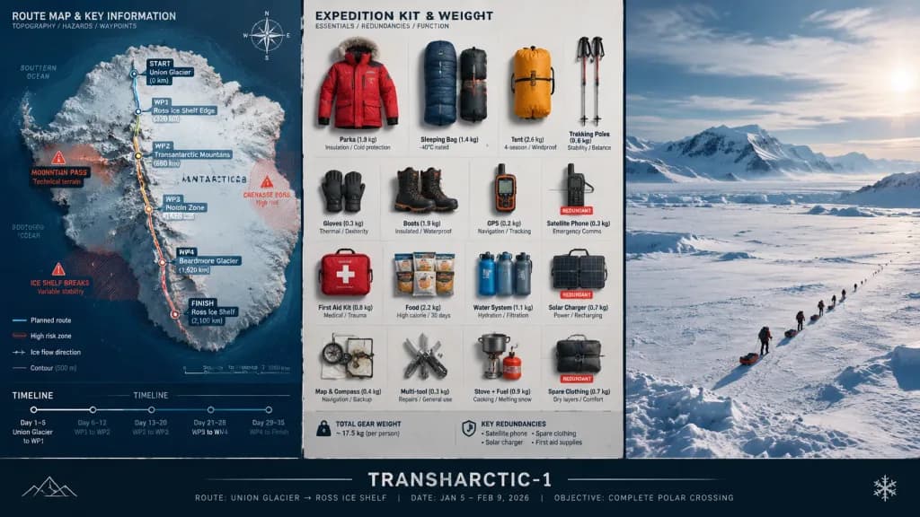
Strategische Expeditionstafel
Erstellt ein dreiteiliges Missionsplanungspanel mit topografischer Karte, Ausrüstungs-Flatlay und Landschaftsfotografie. Name, Mission und Zielort in Klammern anpassbar.
Prompt
A strategic command board for an expedition leader planning [a polar crossing] to [Antarctica]. A three-panel triptych layout: Left panel features a detailed topographic route map with labeled waypoints, annotated danger zones, and an edge timeline. Center panel displays an overhead flat lay of every piece of expedition kit organized in neat rows, each item tagged by weight and function, showing redundancies flagged. Right panel captures the expedition in motion across a vast, epic landscape with small human figures emphasizing immense scale. Visual language transitions from cartographic precision to functional inventory documentation, ending in sweeping environmental photography. A clean title block at the bottom reads: "[TRANSHARCTIC-1] — [ROUTE], [DATE], [OBJECTIVE]".
Was Sie anpassen können
Ersetzen Sie diese Teile des Prompts vor dem Generieren durch Ihr eigenes Motiv oder Ihren eigenen Text.
[a polar crossing]Platzhalter[Antarctica]Platzhalter[TRANSHARCTIC-1]Platzhalter[ROUTE]Platzhalter[DATE]Platzhalter[OBJECTIVE]Platzhalter“[TRANSHARCTIC-1] — [ROUTE], [DATE], [OBJECTIVE]”Text in Anführungszeichen
Prompt-Details
- Kategorie
- Infografik / Bildung
- Modell
- GPT IMAGE 2
- Kosten pro Bild
- 1K: 43 Credits · 2K: 86 Credits · 4K: 143 Credits
- Seitenverhältnis
- 16:9
- Hinzugefügt