
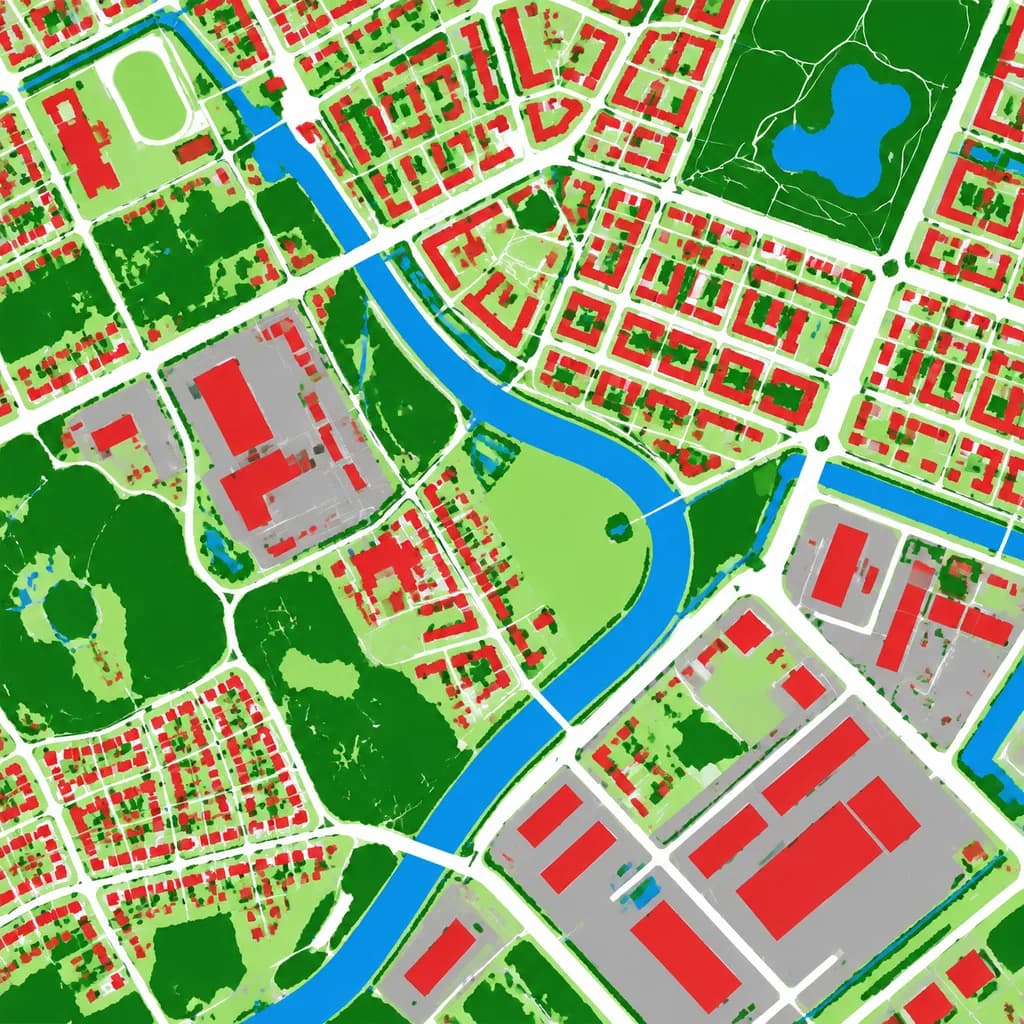
Luftbild-Bodenbedeckungskarte
Wandelt ein Luftbild in eine Falschfarben-Bodenbedeckungskarte um. Passen Sie Kategoriefarben und Zonen an Ihre kartografischen Anforderungen an.
Prompt
Using the reference photo as the source geography and urban layout, transform the monochrome aerial photograph into a clean false-color land-cover classification map. Maintain the identical top-down orthographic viewpoint and street/block structure, replacing photographic texture with flat segmented vector-style regions and crisp boundaries. Classify the scene into 6 categories: [buildings as red], [roads and paved corridors as white], [water bodies and canals as blue], [dense vegetation and parks as dark green], [open grass or sparse green areas as light green], and [industrial or open paved facility areas as gray]. High-contrast thematic cartography, flat shading, with no labels, text, legends, borders, or film markings.
Was Sie anpassen können
Ersetzen Sie diese Teile des Prompts vor dem Generieren durch Ihr eigenes Motiv oder Ihren eigenen Text.
[buildings as red]Platzhalter[roads and paved corridors as white]Platzhalter[water bodies and canals as blue]Platzhalter[dense vegetation and parks as dark green]Platzhalter[open grass or sparse green areas as light green]Platzhalter[industrial or open paved facility areas as gray]Platzhalter
Prompt-Details
- Kategorie
- Infografik / Bildung
- Modell
- GPT IMAGE 2
- Kosten pro Bild
- 1K: 43 Credits · 2K: 86 Credits · 4K: 143 Credits
- Seitenverhältnis
- 1:1
- Hinzugefügt