
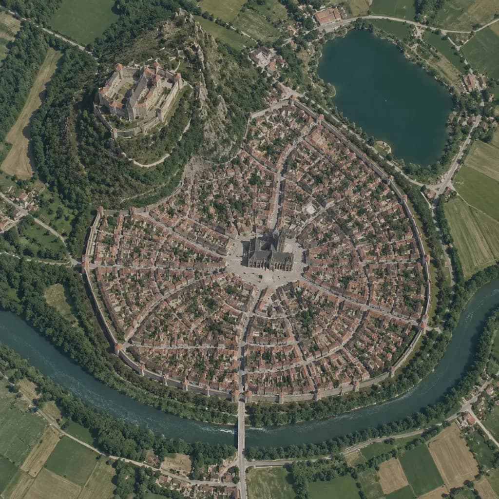
Bản đồ vệ tinh thẳng đứng thành phố thời trung cổ
Chuyển đổi phác thảo kiến tạo thế giới thành ảnh vệ tinh góc nhìn thẳng thực tế kiểu Google Maps. Thay đổi loại thành phố và bố cục để lập bản đồ.
Prompt
A true vertical top-down satellite image resembling a Google Maps capture of [a Central European medieval walled city], rendered in the style of [a realistic photograph resembling a Google Maps satellite view] using the reference photo for landscape details and the reference sketch for the urban layout. Keep five major layout elements clearly recognizable: 1) the walled oval city footprint, 2) the elevated castle district on the upper-left hill, 3) the central cathedral and radial plaza, 4) the lake in the upper-right area, and 5) the river curving around the lower perimeter with a bridge and gate approach. Style: photorealistic satellite photography with natural terrain textures, muted earth tones, dense tiny roof grids, narrow streets, surrounding agricultural fields, realistic water bodies, and natural atmospheric clarity. Strictly top-down nadir perspective with authentic scale and density, with no oblique angles or fantasy illustration elements.
Những phần bạn có thể tùy chỉnh
Trước khi tạo ảnh, hãy thay các phần này của prompt bằng chủ đề hoặc nội dung của bạn.
[a Central European medieval walled city]chỗ giữ chỗ
Chi tiết prompt
- Danh mục
- Concept art
- Mô hình
- GPT IMAGE 2
- Chi phí mỗi ảnh
- 1K: 43 tín dụng · 2K: 86 tín dụng · 4K: 143 tín dụng
- Tỷ lệ khung hình
- 1:1
- Ngày thêm