
อินโฟกราฟิก / การศึกษา
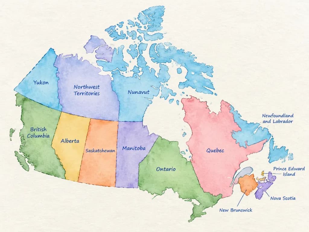
แผนที่เขตการปกครองสีน้ำ
สร้างแผนที่สีน้ำสะอาดตาที่เน้นเขตการปกครองพร้อมป้ายกำกับลายมือ เปลี่ยนชื่อประเทศเพื่อใช้ในงานการศึกษาหรืออินโฟกราฟิก
สีน้ำแผนที่การทำแผนที่อินโฟกราฟิกภูมิศาสตร์การศึกษา
พรอมป์
A detailed watercolor-style map of [COUNTRY] on lightly textured paper. Soft flowing watercolor washes in distinct, harmonious colors for each first-level administrative division. All federal states, provinces, or regions are accurately separated by clear borders and labeled directly inside their areas in neat blue ballpoint-pen handwriting. Educational infographic style, clean composition, high legibility, subtle paper grain texture, gentle shading, and balanced negative space on a bright, clean background. No cities, roads, flags, logos, or watermarks.
ส่วนที่ปรับแต่งได้
ก่อนสร้างภาพ ให้แทนที่ส่วนเหล่านี้ของพรอมป์ด้วยหัวข้อหรือข้อความของคุณเอง
[COUNTRY]ตัวแทนข้อความ
รายละเอียดพรอมป์
- หมวดหมู่
- อินโฟกราฟิก / การศึกษา
- โมเดล
- Nano Banana 2
- ค่าใช้จ่ายต่อภาพ
- 1K: 54 เครดิต · 2K: 81 เครดิต · 4K: 122 เครดิต
- อัตราส่วนภาพ
- 4:3
- วันที่เพิ่ม