
อินโฟกราฟิก / การศึกษา
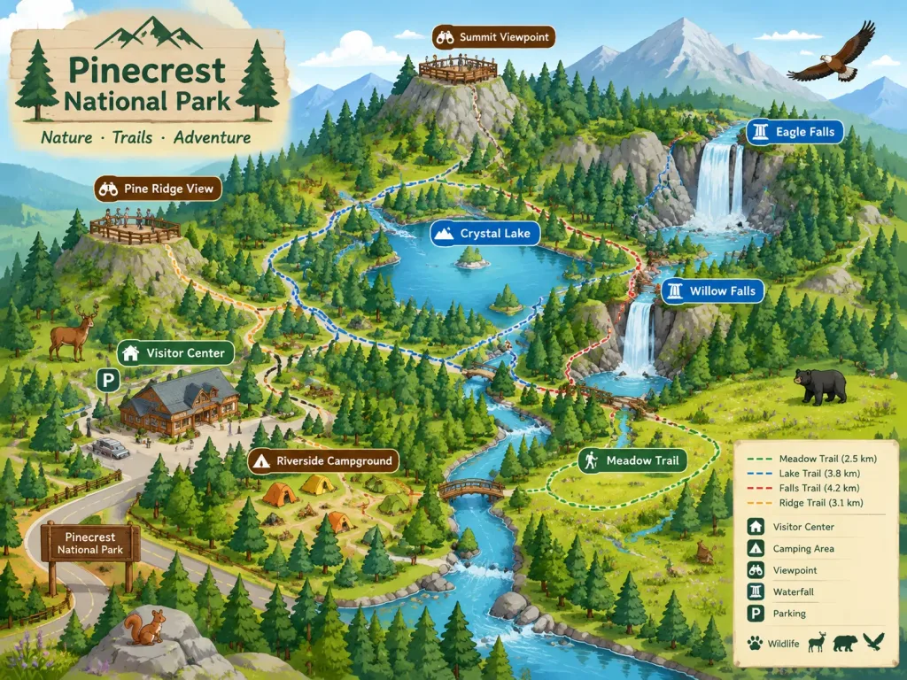
แผนที่ภาพประกอบไอโซเมตริกอุทยานแห่งชาติ
สร้างแผนที่ภาพประกอบสไตล์ไอโซเมตริกพร้อมเส้นทางเดินป่า จุดชมวิว และสัตว์ป่า ปรับแต่งอุทยานและจุดสำคัญสำหรับโบรชัวร์ท่องเที่ยวได้ง่ายดาย
แผนที่ไอโซเมตริกอุทยานแห่งชาติแผนที่ภาพประกอบเส้นทางเดินป่าโบรชัวร์ท่องเที่ยวสัตว์ป่า
ที่มา:Jared Liu
พรอมป์
A stylized isometric illustrated map of [a national park], designed for a park brochure or website. The map highlights key hiking trails, prominent landmarks such as [waterfalls and scenic viewpoints], [visitor centers], and [camping areas]. Friendly and inviting illustration style featuring miniature local wildlife native to the park scattered across the terrain. Clear, readable composition balancing geographic layout with charming artistic details.
ส่วนที่ปรับแต่งได้
ก่อนสร้างภาพ ให้แทนที่ส่วนเหล่านี้ของพรอมป์ด้วยหัวข้อหรือข้อความของคุณเอง
[a national park]ตัวแทนข้อความ[waterfalls and scenic viewpoints]ตัวแทนข้อความ[visitor centers]ตัวแทนข้อความ[camping areas]ตัวแทนข้อความ
รายละเอียดพรอมป์
- หมวดหมู่
- อินโฟกราฟิก / การศึกษา
- โมเดล
- Seedream 4.5
- ค่าใช้จ่ายต่อภาพ
- 33 เครดิต (2K–4K)
- อัตราส่วนภาพ
- 4:3
- ผู้สร้าง
- Jared Liu
- สัญญาอนุญาต
- CC BY 4.0
- วันที่เพิ่ม