
โปสเตอร์และภาพประกอบ
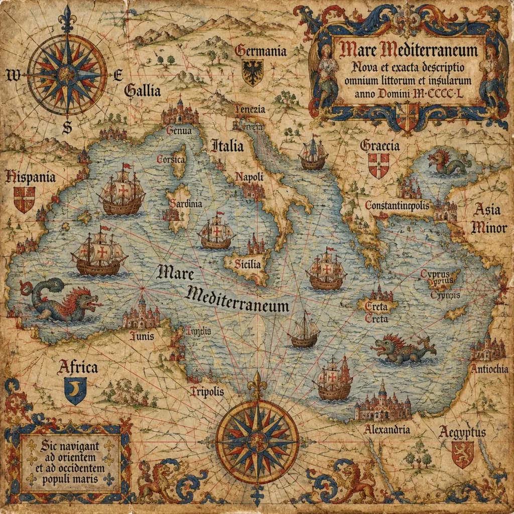
แผนที่เดินเรือพอร์โทลานโบราณศตวรรษที่ 15
พรอมต์นี้สร้างแผนที่เดินเรือยุคกลางของแท้บนแผ่นหนังลูกวัวเก่าแก่พร้อมรายละเอียดแผนที่คลาสสิก เปลี่ยนภูมิภาคในวงเล็บเพื่อทำแผนที่ชายฝั่งใดก็ได้
แผนที่พอร์โทลานแผนที่โบราณการทำแผนที่การเดินเรือยุคกลางแผ่นหนัง
พรอมป์
An antique 15th-century style portolan chart of [the Mediterranean Sea], illustrated on aged parchment vellum. A dense navigational network of red, black, and gold rhumb lines radiates across the map. Features hand-lettered Latin coastal names, miniature caravel ships sailing the waters, mythical sea monsters, an ornate compass rose cartouche, and an elaborate gothic title scroll.
ส่วนที่ปรับแต่งได้
ก่อนสร้างภาพ ให้แทนที่ส่วนเหล่านี้ของพรอมป์ด้วยหัวข้อหรือข้อความของคุณเอง
[the Mediterranean Sea]ตัวแทนข้อความ
รายละเอียดพรอมป์
- หมวดหมู่
- โปสเตอร์และภาพประกอบ
- โมเดล
- GPT IMAGE 2.5 Sunburst
- ค่าใช้จ่ายต่อภาพ
- 1K: 11 เครดิต · 2K: 22 เครดิต · 4K: 36 เครดิต
- อัตราส่วนภาพ
- 1:1
- วันที่เพิ่ม