
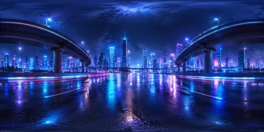
แผนที่ HDRI 360 ทางด่วนไซเบอร์พังก์
สร้างภาพแผนที่สิ่งแวดล้อม HDRI 360 องศาของทางด่วนไซเบอร์พังก์ในค่ำคืนฝนตก ปรับแต่งสไตล์สถาปัตยกรรมและโทนสีนีออนได้ตามต้องการสำหรับงาน 3D
พรอมป์
A 360-degree equirectangular HDRI environment map of a [futuristic urban expressway at night], viewed from the center of a wide, rain-soaked roadway beneath massive elevated highway overpasses. Two large curving highway ramps on the left and right arch inward toward the center, supported by thick pillars and receding overpass layers. The background features a dense skyline of illuminated high-rise skyscrapers with [cool cyan, blue, and purple] window lights. The glossy wet asphalt surface reflects the glowing city lights in horizontal streaks of neon blue, violet, and pink, with subtle luminous light trails across the pavement. The night sky is dark and overcast with atmospheric haze and a subtle glow at the zenith. Full 360 equirectangular panoramic projection with standard polar distortion at the top and bottom edges, realistic high dynamic range lighting, deep indigo and electric cyan color palette, suitable as a 3D environment backdrop.
ส่วนที่ปรับแต่งได้
ก่อนสร้างภาพ ให้แทนที่ส่วนเหล่านี้ของพรอมป์ด้วยหัวข้อหรือข้อความของคุณเอง
[futuristic urban expressway at night]ตัวแทนข้อความ[cool cyan, blue, and purple]ตัวแทนข้อความ
รายละเอียดพรอมป์
- หมวดหมู่
- เรนเดอร์ 3D
- โมเดล
- Seedream 5.0 Pro
- ค่าใช้จ่ายต่อภาพ
- 1K: 37 เครดิต · 2K: 73 เครดิต
- อัตราส่วนภาพ
- 2:1
- วันที่เพิ่ม