
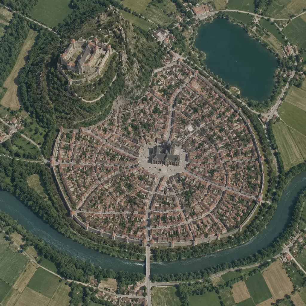
Pionowa mapa satelitarna średniowiecznego miasta
Zmieniaj szkice koncepcyjne w realistyczne zdjęcia satelitarne w stylu Google Maps. Dostosuj typ miasta i układ, aby zmapować dowolną osadę.
Prompt
A true vertical top-down satellite image resembling a Google Maps capture of [a Central European medieval walled city], rendered in the style of [a realistic photograph resembling a Google Maps satellite view] using the reference photo for landscape details and the reference sketch for the urban layout. Keep five major layout elements clearly recognizable: 1) the walled oval city footprint, 2) the elevated castle district on the upper-left hill, 3) the central cathedral and radial plaza, 4) the lake in the upper-right area, and 5) the river curving around the lower perimeter with a bridge and gate approach. Style: photorealistic satellite photography with natural terrain textures, muted earth tones, dense tiny roof grids, narrow streets, surrounding agricultural fields, realistic water bodies, and natural atmospheric clarity. Strictly top-down nadir perspective with authentic scale and density, with no oblique angles or fantasy illustration elements.
Co możesz dostosować
Przed generowaniem zamień te części promptu na własny temat lub tekst.
[a Central European medieval walled city]symbol zastępczy
Szczegóły promptu
- Kategoria
- Concept art
- Model
- GPT IMAGE 2
- Koszt za obraz
- 1K: 43 kredytów · 2K: 86 kredytów · 4K: 143 kredytów
- Proporcje
- 1:1
- Dodano