
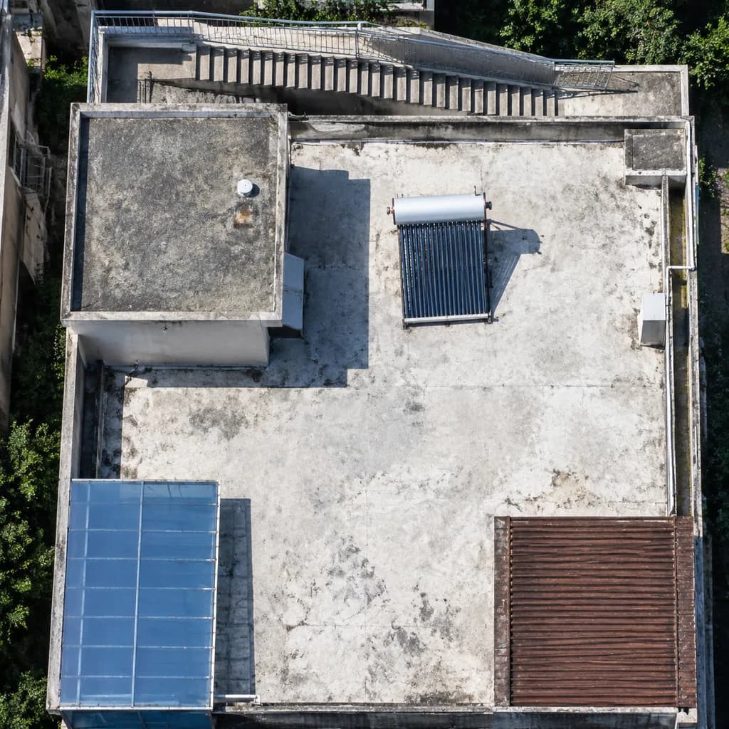
Poprawa Jakości Zdjęcia Satelitarnego Dachu
Przekształca nieostry kadr lotniczy w wyraźne zdjęcie satelitarne o czytelnych strukturach. Dostosuj elementy dachu do różnych analiz geodezyjnych.
Prompt
A high-resolution nadir satellite aerial crop enhancing the rooftop scene from the reference photo. Maintain the identical building geometry, staircase along the top edge, rooftop enclosure, [blue-tinted awning] at the lower left, and [brown slatted roof] at the lower right. Sharpen all structural edges, slightly correct perspective to a true top-down orthophoto, increase tonal contrast, and eliminate compression artifacts. Ensure rooftop equipment is distinctly legible, particularly clarifying the single solar water heater on the white roof as a crisp rectangular collector panel with a cylindrical storage tank and a sharp cast shadow. Authentic high-resolution Earth-observation optical satellite imagery style, tightly cropped.
Co możesz dostosować
Przed generowaniem zamień te części promptu na własny temat lub tekst.
[blue-tinted awning]symbol zastępczy[brown slatted roof]symbol zastępczy
Szczegóły promptu
- Kategoria
- Inne
- Model
- GPT IMAGE 2.5 Flare
- Koszt za obraz
- 1K: 11 kredytów · 2K: 22 kredytów · 4K: 36 kredytów
- Proporcje
- 1:1
- Dodano