
Plakat i ilustracja
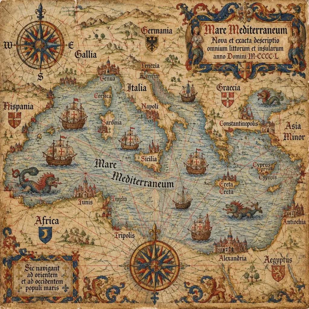
Zabytkowa Mapa Portolanowa z XV Wieku
Ten prompt tworzy autentyczną średniowieczną mapę morską na postarzanym welinie z klasycznymi detalami. Zmień region w nawiasie, aby zmapować dowolne morze lub linię brzegową.
mapa portolanowastara mapakartografianautykaśredniowieczewelan
Prompt
An antique 15th-century style portolan chart of [the Mediterranean Sea], illustrated on aged parchment vellum. A dense navigational network of red, black, and gold rhumb lines radiates across the map. Features hand-lettered Latin coastal names, miniature caravel ships sailing the waters, mythical sea monsters, an ornate compass rose cartouche, and an elaborate gothic title scroll.
Co możesz dostosować
Przed generowaniem zamień te części promptu na własny temat lub tekst.
[the Mediterranean Sea]symbol zastępczy
Szczegóły promptu
- Kategoria
- Plakat i ilustracja
- Model
- GPT IMAGE 2.5 Sunburst
- Koszt za obraz
- 1K: 11 kredytów · 2K: 22 kredytów · 4K: 36 kredytów
- Proporcje
- 1:1
- Dodano