
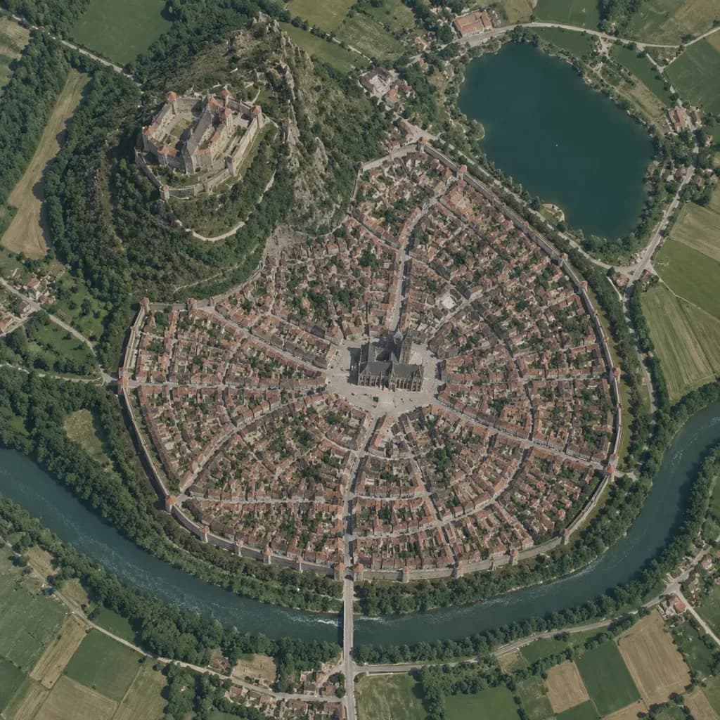
수직 위성 중세 도시 지도
세계관 스케치를 구글 지도 스타일의 사실적인 수직 위성사진으로 변환합니다. 괄호 안의 도시 유형과 레이아웃, 스타일을 수정하여 가상 도시를 매핑하세요.
프롬프트
A true vertical top-down satellite image resembling a Google Maps capture of [a Central European medieval walled city], rendered in the style of [a realistic photograph resembling a Google Maps satellite view] using the reference photo for landscape details and the reference sketch for the urban layout. Keep five major layout elements clearly recognizable: 1) the walled oval city footprint, 2) the elevated castle district on the upper-left hill, 3) the central cathedral and radial plaza, 4) the lake in the upper-right area, and 5) the river curving around the lower perimeter with a bridge and gate approach. Style: photorealistic satellite photography with natural terrain textures, muted earth tones, dense tiny roof grids, narrow streets, surrounding agricultural fields, realistic water bodies, and natural atmospheric clarity. Strictly top-down nadir perspective with authentic scale and density, with no oblique angles or fantasy illustration elements.
바꿔 쓸 수 있는 부분
생성하기 전에 프롬프트의 이 부분을 원하는 주제나 문구로 바꿔 보세요.
[a Central European medieval walled city]자리 표시자
프롬프트 정보
- 카테고리
- 컨셉 아트
- 모델
- GPT IMAGE 2
- 이미지당 비용
- 1K: 43 크레딧 · 2K: 86 크레딧 · 4K: 143 크레딧
- 화면 비율
- 1:1
- 추가일