
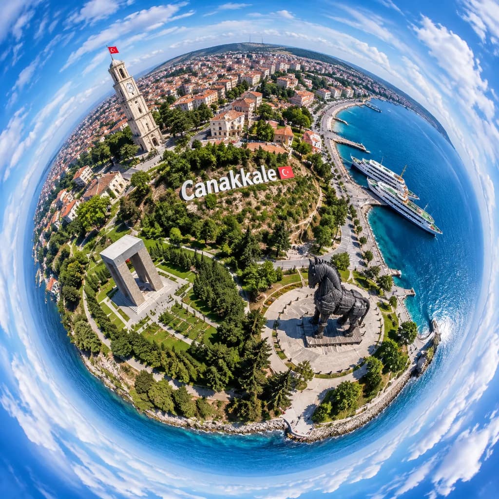
차나칼레 타이니 플래닛 항공 사진
차나칼레의 해안 랜드마크와 도시 전경을 담은 360도 타이니 플래닛 드론 뷰를 생성합니다. 도시 이름과 랜드마크를 변경해 활용하세요.
프롬프트
A dramatic ultra-wide aerial tiny-planet photograph of [Canakkale], Turkey, rendered in a full 360-degree stereographic projection where the city and waterfront form a compact spherical world surrounded by a swirling ring of blue sky and white clouds. The viewpoint is high above the shoreline in bright daytime with crisp summer light, realistic colors, and sharp photographic detail. A prominent hillside sign reading "[Canakkale]" is placed across the center of the miniature globe. On the upper-left of the sphere, a tall pale stone clock tower with a small red Turkish flag stands among dense urban blocks with red-tiled roofs. On the right side, a vivid blue harbor features two docked white passenger ferries and a curving coastline. In the lower-right quadrant, the monumental dark wooden Trojan horse statue rests on a circular plaza. In the lower-left quadrant, a large rectangular concrete memorial sits in lush green parkland. Winding paths, gardens, trees, and waterfront promenades encircle the edges. Realistic drone-photo aesthetic with deep depth of field, sharp textures, and fisheye tiny-planet distortion.
바꿔 쓸 수 있는 부분
생성하기 전에 프롬프트의 이 부분을 원하는 주제나 문구로 바꿔 보세요.
[Canakkale]자리 표시자
프롬프트 정보
- 카테고리
- 포스터 및 일러스트
- 모델
- GPT IMAGE 2
- 이미지당 비용
- 1K: 43 크레딧 · 2K: 86 크레딧 · 4K: 143 크레딧
- 화면 비율
- 1:1
- 추가일