
인포그래픽 / 교육
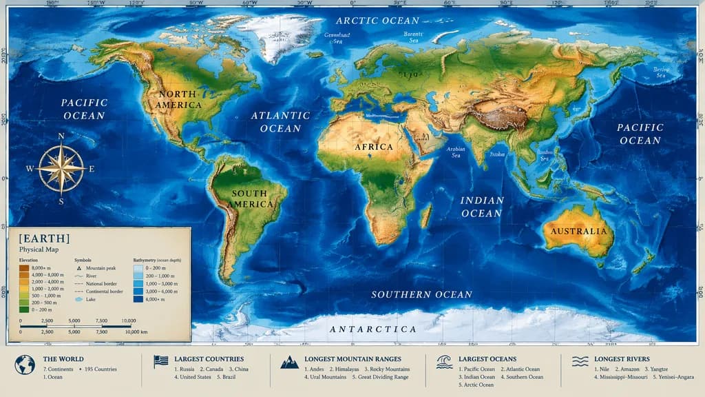
정보 패널이 포함된 물리적 세계 지도
수심 측정, 나침반, 하단 데이터 패널이 포함된 정밀한 물리적 세계 지도를 생성합니다. 색상 팔레트나 제목을 변경하여 맞춤 제작하세요.
세계지도지도제작지형도수심도인포그래픽지리학
유사한 프롬프트 둘러보기인포그래픽 AI 프롬프트
프롬프트
{
  "type": "highly detailed cartographic world map",
  "style": "[realistic topographical and bathymetric colors]",
  "map_features": {
    "terrain": "shaded relief depicting mountains, valleys, and plains in natural greens, browns, and whites",
    "oceans": "bathymetric depth gradients in blue tones, lighter over continental shelves and dark navy in oceanic trenches",
    "grid": "precise latitude and longitude graticule across the global projection",
    "labels": "major continents, nations, oceans, and seas clearly labeled with elegant serif and sans-serif typography"
  },
  "layout": {
    "overlays": [
      {
        "type": "compass rose",
        "position": "mid-left, over the Pacific Ocean",
        "description": "ornate 8-point nautical compass"
      },
      {
        "type": "legend",
        "position": "bottom left",
        "title": "[EARTH]",
        "subtitle": "[Physical Map]",
        "contents": "elevation color ramp, cartographic symbols, and metric distance scale"
      }
    ],
    "bottom_panels": {
      "count": 5,
      "position": "horizontal row along the bottom border",
      "labels": [
        "THE WORLD",
        "LARGEST COUNTRIES",
        "LONGEST MOUNTAIN RANGES",
        "LARGEST OCEANS",
        "LONGEST RIVERS"
      ]
    }
  }
}바꿔 쓸 수 있는 부분
생성하기 전에 프롬프트의 이 부분을 원하는 주제나 문구로 바꿔 보세요.
[realistic topographical and bathymetric colors]자리 표시자[EARTH]자리 표시자[Physical Map]자리 표시자
프롬프트 정보
- 카테고리
- 인포그래픽 / 교육
- 모델
- GPT IMAGE 2
- 이미지당 비용
- 1K: 43 크레딧 · 2K: 86 크레딧 · 4K: 143 크레딧
- 화면 비율
- 16:9
- 추가일