
포스터 및 일러스트
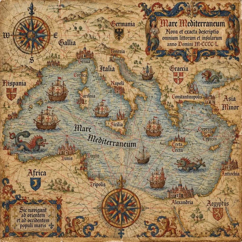
15세기 앤틱 포르톨라노 해도
고풍스러운 양피지에 고전적인 지도 제작 디테일을 담은 중세 포르톨라노 해도를 생성합니다. 괄호 안의 지역을 변경하여 원하는 바다나 해안선을 매핑할 수 있습니다.
포르톨라노 해도고지도지도학항해중세양피지
프롬프트
An antique 15th-century style portolan chart of [the Mediterranean Sea], illustrated on aged parchment vellum. A dense navigational network of red, black, and gold rhumb lines radiates across the map. Features hand-lettered Latin coastal names, miniature caravel ships sailing the waters, mythical sea monsters, an ornate compass rose cartouche, and an elaborate gothic title scroll.
바꿔 쓸 수 있는 부분
생성하기 전에 프롬프트의 이 부분을 원하는 주제나 문구로 바꿔 보세요.
[the Mediterranean Sea]자리 표시자
프롬프트 정보
- 카테고리
- 포스터 및 일러스트
- 모델
- GPT IMAGE 2.5 Sunburst
- 이미지당 비용
- 1K: 11 크레딧 · 2K: 22 크레딧 · 4K: 36 크레딧
- 화면 비율
- 1:1
- 추가일