
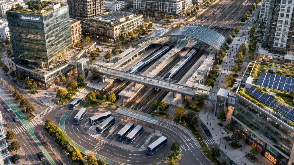
도심 교통 허브 항공 드론 뷰
고밀도 복합 도시 지구 내 현대적인 대중교통 환승 허브의 항공 뷰를 생성합니다. 건물 간판 문구나 차량 수를 변경하여 원하는 장면을 연출하세요.
프롬프트
A high-angle aerial drone photograph of a modern urban transit hub in a dense mixed-use city district, captured from an oblique bird's-eye perspective in crisp late-afternoon sunlight. The scene centers on a multi-track rail station running diagonally across the frame, featuring 6 visible railway tracks, 2 long passenger trains docked at platforms, and an arched glass canopy. A broad pedestrian overpass crosses above the tracks, connecting landscaped public plazas on either side. In the lower foreground, a bus interchange showcases 7 buses parked or moving along curved lanes and marked transit bays. Surrounding the hub are contemporary residential towers, mid-rise office buildings, street-level retail, tree-lined boulevards, bike lanes, and small clusters of pedestrians. A prominent glass office tower on the left features a landscaped rooftop terrace and a corporate sign reading "[innovation]". Rooftop solar panels and green roofs are visible across multiple structures, particularly on the lower-right building. Clean North American transit-oriented development aesthetic, realistic architectural photography, natural colors.
바꿔 쓸 수 있는 부분
생성하기 전에 프롬프트의 이 부분을 원하는 주제나 문구로 바꿔 보세요.
[innovation]자리 표시자
프롬프트 정보
- 카테고리
- 기타
- 모델
- GPT IMAGE 2.5 Flare
- 이미지당 비용
- 1K: 11 크레딧 · 2K: 22 크레딧 · 4K: 36 크레딧
- 화면 비율
- 16:9
- 추가일