
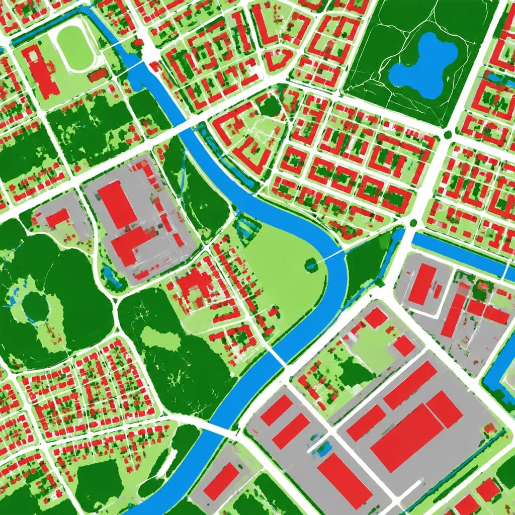
Mappa Aerea di Copertura del Suolo
Trasforma una foto aerea in una mappa di copertura del suolo a falsi colori. Personalizza i colori delle categorie in base alle tue esigenze.
Prompt
Using the reference photo as the source geography and urban layout, transform the monochrome aerial photograph into a clean false-color land-cover classification map. Maintain the identical top-down orthographic viewpoint and street/block structure, replacing photographic texture with flat segmented vector-style regions and crisp boundaries. Classify the scene into 6 categories: [buildings as red], [roads and paved corridors as white], [water bodies and canals as blue], [dense vegetation and parks as dark green], [open grass or sparse green areas as light green], and [industrial or open paved facility areas as gray]. High-contrast thematic cartography, flat shading, with no labels, text, legends, borders, or film markings.
Cosa puoi personalizzare
Prima di generare, sostituisci queste parti del prompt con il tuo soggetto o testo.
[buildings as red]segnaposto[roads and paved corridors as white]segnaposto[water bodies and canals as blue]segnaposto[dense vegetation and parks as dark green]segnaposto[open grass or sparse green areas as light green]segnaposto[industrial or open paved facility areas as gray]segnaposto
Dettagli del prompt
- Categoria
- Infografica / Educazione
- Modello
- GPT IMAGE 2
- Costo per immagine
- 1K: 43 crediti · 2K: 86 crediti · 4K: 143 crediti
- Proporzioni
- 1:1
- Aggiunto il