
Poster dan ilustrasi
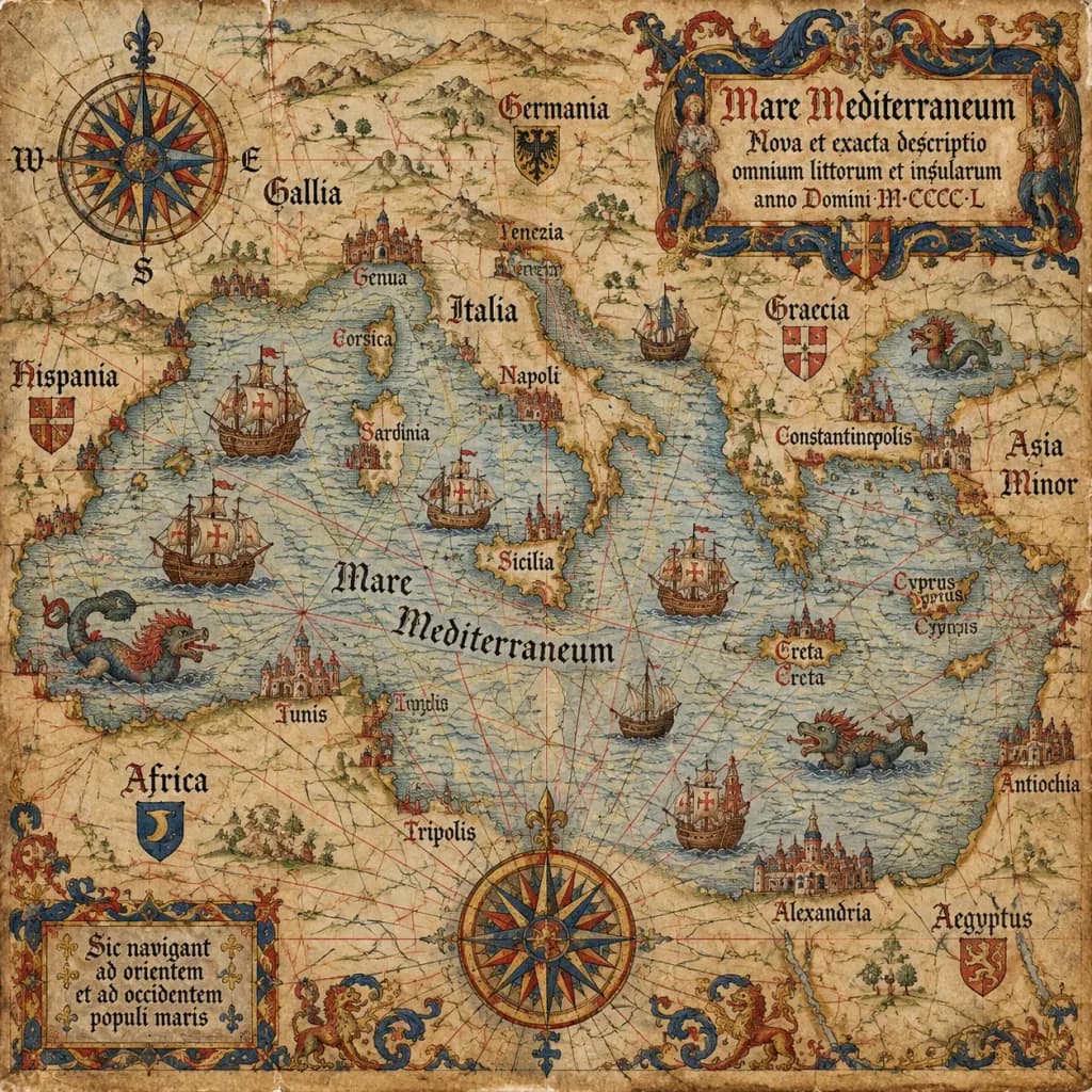
Peta Portolan Antik Abad ke-15
Prompt ini membuat peta laut abad pertengahan autentik di atas perkamen tua dengan detail kartografi klasik. Ubah wilayah dalam tanda kurung untuk memetakan laut atau garis pantai mana pun.
peta portolanpeta antikkartografibahariabad pertengahanperkamen
Prompt
An antique 15th-century style portolan chart of [the Mediterranean Sea], illustrated on aged parchment vellum. A dense navigational network of red, black, and gold rhumb lines radiates across the map. Features hand-lettered Latin coastal names, miniature caravel ships sailing the waters, mythical sea monsters, an ornate compass rose cartouche, and an elaborate gothic title scroll.
Yang bisa Anda ubah
Sebelum membuat gambar, ganti bagian prompt ini dengan subjek atau teks Anda sendiri.
[the Mediterranean Sea]placeholder
Detail prompt
- Kategori
- Poster dan ilustrasi
- Model
- GPT IMAGE 2.5 Sunburst
- Biaya per gambar
- 1K: 11 kredit · 2K: 22 kredit · 4K: 36 kredit
- Rasio aspek
- 1:1
- Ditambahkan