
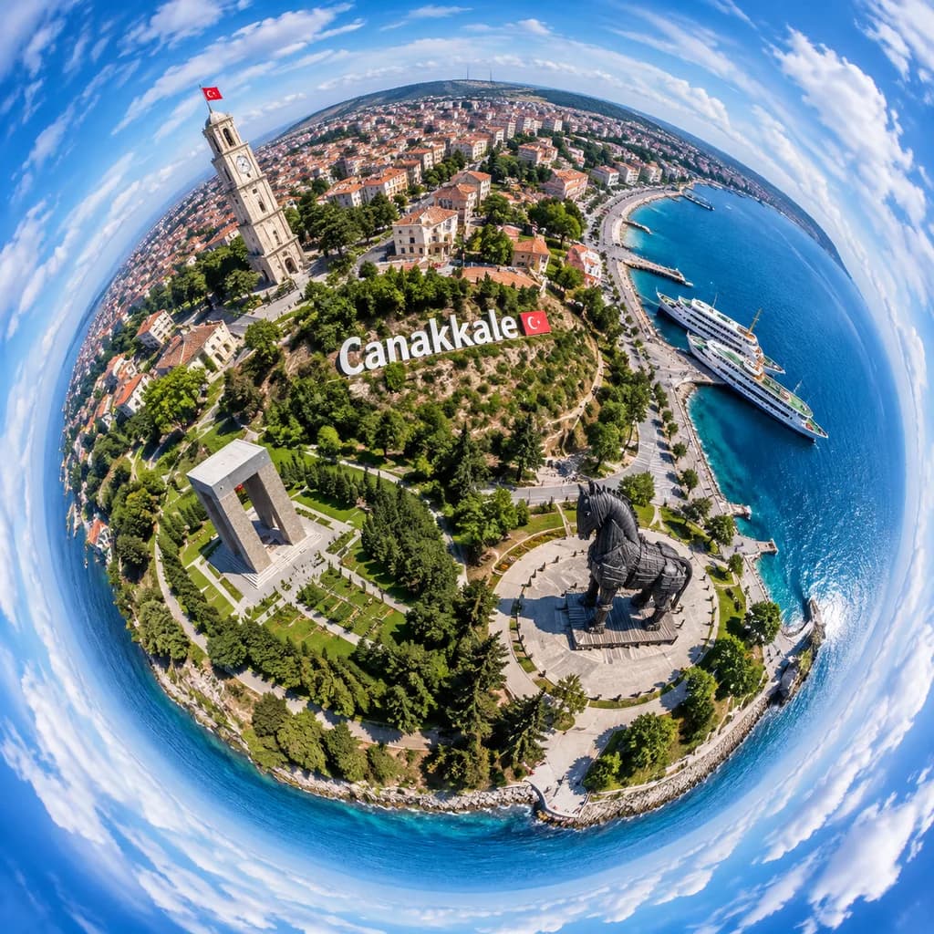
Vue Aérienne Petite Planète de Çanakkale
Génère une vue drone à 360 degrés en petite planète des monuments côtiers de Çanakkale. Modifiez la ville et les repères pour d'autres destinations.
Prompt
A dramatic ultra-wide aerial tiny-planet photograph of [Canakkale], Turkey, rendered in a full 360-degree stereographic projection where the city and waterfront form a compact spherical world surrounded by a swirling ring of blue sky and white clouds. The viewpoint is high above the shoreline in bright daytime with crisp summer light, realistic colors, and sharp photographic detail. A prominent hillside sign reading "[Canakkale]" is placed across the center of the miniature globe. On the upper-left of the sphere, a tall pale stone clock tower with a small red Turkish flag stands among dense urban blocks with red-tiled roofs. On the right side, a vivid blue harbor features two docked white passenger ferries and a curving coastline. In the lower-right quadrant, the monumental dark wooden Trojan horse statue rests on a circular plaza. In the lower-left quadrant, a large rectangular concrete memorial sits in lush green parkland. Winding paths, gardens, trees, and waterfront promenades encircle the edges. Realistic drone-photo aesthetic with deep depth of field, sharp textures, and fisheye tiny-planet distortion.
Ce que vous pouvez personnaliser
Avant de générer, remplacez ces parties du prompt par votre propre sujet ou texte.
[Canakkale]espace réservé
Détails du prompt
- Catégorie
- Affiche et illustration
- Modèle
- GPT IMAGE 2
- Coût par image
- 1K : 43 crédits · 2K : 86 crédits · 4K : 143 crédits
- Format
- 1:1
- Ajouté le