
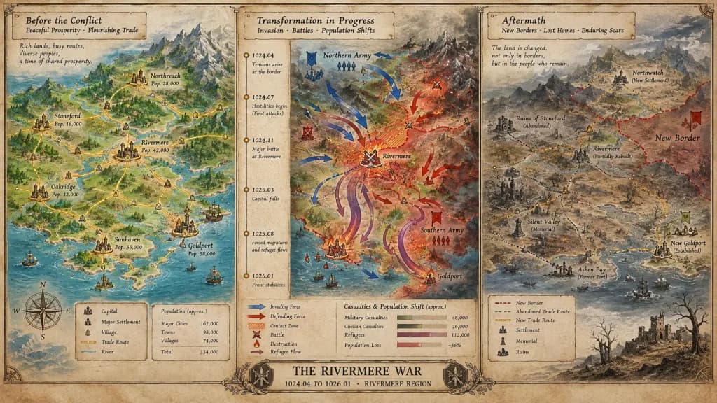
Tableau de Crise Cartographique Historique
Générez une carte de crise tripartite détaillée illustrant l'évolution de la paix au conflit et ses répercussions. Personnalisez l'événement, l'époque et la région entre crochets.
Prompt
A cartographer's crisis board mapping [CONFLICT] — [ERA / REGION], split horizontally into three distinct narrative panels across a single wide canvas. Left section: the situation before, featuring peaceful topography, trade routes traced in gold leaf, settlements marked with period-appropriate symbols, and annotated population figures. Center section: the transformation in progress, showing directional movement arrows, contact zones rendered in graduated intensity, a vertical timeline with key dates as waypoints, and casualties or population shifts visualized as proportional flow lines. Right section: the aftermath terrain, displaying altered borders, abandoned trade paths, newly established settlements, memorial markers, and a landscape bearing visible scars. The visual aesthetic transitions seamlessly from pastoral survey calmness to urgent wartime tactical graphics, ending in a melancholic documentary tone. Includes hand-lettered cartographic annotations throughout and an official title block reading "[EVENT NAME] — [START DATE] TO [END DATE], [GEOGRAPHIC SCOPE]".
Ce que vous pouvez personnaliser
Avant de générer, remplacez ces parties du prompt par votre propre sujet ou texte.
[CONFLICT]espace réservé[ERA / REGION]espace réservé[EVENT NAME]espace réservé[START DATE]espace réservé[END DATE]espace réservé[GEOGRAPHIC SCOPE]espace réservé“[EVENT NAME] — [START DATE] TO [END DATE], [GEOGRAPHIC SCOPE]”texte entre guillemets
Détails du prompt
- Catégorie
- Infographie / Éducation
- Modèle
- Nano Banana Pro
- Coût par image
- 1K : 108 crédits · 2K : 108 crédits · 4K : 193 crédits
- Format
- 16:9
- Ajouté le