
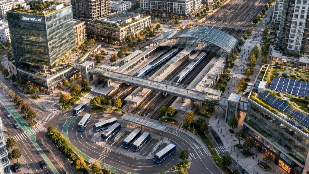
Vue Aérienne d'un Pôle d'Échange Urbain
Générez une vue aérienne par drone d'un pôle de transport moderne au cœur d'une ville dense. Modifiez le lettrage de l'immeuble ou le nombre de véhicules à votre guise.
Prompt
A high-angle aerial drone photograph of a modern urban transit hub in a dense mixed-use city district, captured from an oblique bird's-eye perspective in crisp late-afternoon sunlight. The scene centers on a multi-track rail station running diagonally across the frame, featuring 6 visible railway tracks, 2 long passenger trains docked at platforms, and an arched glass canopy. A broad pedestrian overpass crosses above the tracks, connecting landscaped public plazas on either side. In the lower foreground, a bus interchange showcases 7 buses parked or moving along curved lanes and marked transit bays. Surrounding the hub are contemporary residential towers, mid-rise office buildings, street-level retail, tree-lined boulevards, bike lanes, and small clusters of pedestrians. A prominent glass office tower on the left features a landscaped rooftop terrace and a corporate sign reading "[innovation]". Rooftop solar panels and green roofs are visible across multiple structures, particularly on the lower-right building. Clean North American transit-oriented development aesthetic, realistic architectural photography, natural colors.
Ce que vous pouvez personnaliser
Avant de générer, remplacez ces parties du prompt par votre propre sujet ou texte.
[innovation]espace réservé
Détails du prompt
- Catégorie
- Autre
- Modèle
- GPT IMAGE 2.5 Flare
- Coût par image
- 1K : 11 crédits · 2K : 22 crédits · 4K : 36 crédits
- Format
- 16:9
- Ajouté le