
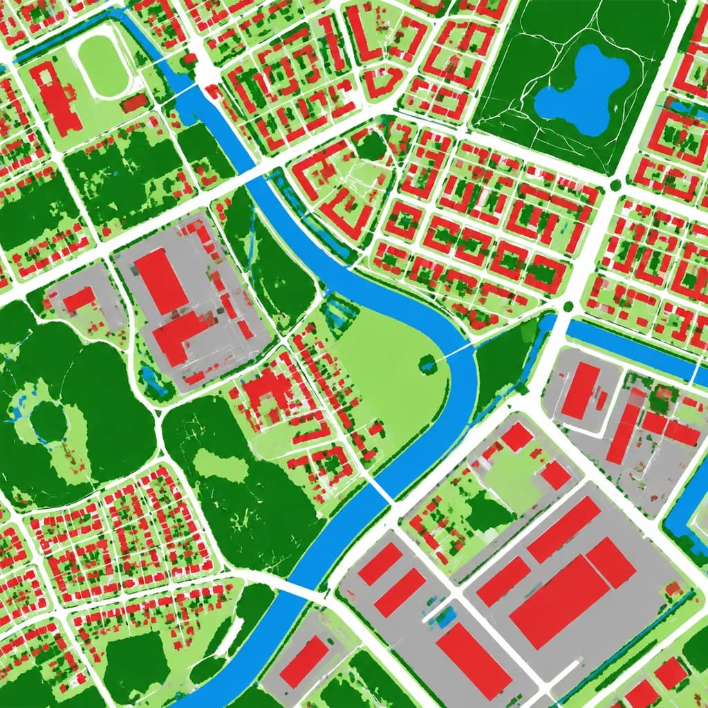
Carte Aérienne d'Occupation des Sols
Transforme une photo aérienne en carte d'occupation des sols en fausses couleurs. Personnalisez les couleurs des catégories selon vos besoins.
Prompt
Using the reference photo as the source geography and urban layout, transform the monochrome aerial photograph into a clean false-color land-cover classification map. Maintain the identical top-down orthographic viewpoint and street/block structure, replacing photographic texture with flat segmented vector-style regions and crisp boundaries. Classify the scene into 6 categories: [buildings as red], [roads and paved corridors as white], [water bodies and canals as blue], [dense vegetation and parks as dark green], [open grass or sparse green areas as light green], and [industrial or open paved facility areas as gray]. High-contrast thematic cartography, flat shading, with no labels, text, legends, borders, or film markings.
Ce que vous pouvez personnaliser
Avant de générer, remplacez ces parties du prompt par votre propre sujet ou texte.
[buildings as red]espace réservé[roads and paved corridors as white]espace réservé[water bodies and canals as blue]espace réservé[dense vegetation and parks as dark green]espace réservé[open grass or sparse green areas as light green]espace réservé[industrial or open paved facility areas as gray]espace réservé
Détails du prompt
- Catégorie
- Infographie / Éducation
- Modèle
- GPT IMAGE 2
- Coût par image
- 1K : 43 crédits · 2K : 86 crédits · 4K : 143 crédits
- Format
- 1:1
- Ajouté le