
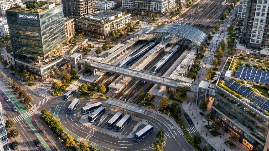
Pemandangan Udara Pusat Transit Perkotaan
Menghasilkan foto drone dari udara untuk pusat transit modern di kawasan perkotaan padat. Sesuaikan teks plang gedung atau jumlah kendaraan transit sesuai kebutuhan.
Prompt
A high-angle aerial drone photograph of a modern urban transit hub in a dense mixed-use city district, captured from an oblique bird's-eye perspective in crisp late-afternoon sunlight. The scene centers on a multi-track rail station running diagonally across the frame, featuring 6 visible railway tracks, 2 long passenger trains docked at platforms, and an arched glass canopy. A broad pedestrian overpass crosses above the tracks, connecting landscaped public plazas on either side. In the lower foreground, a bus interchange showcases 7 buses parked or moving along curved lanes and marked transit bays. Surrounding the hub are contemporary residential towers, mid-rise office buildings, street-level retail, tree-lined boulevards, bike lanes, and small clusters of pedestrians. A prominent glass office tower on the left features a landscaped rooftop terrace and a corporate sign reading "[innovation]". Rooftop solar panels and green roofs are visible across multiple structures, particularly on the lower-right building. Clean North American transit-oriented development aesthetic, realistic architectural photography, natural colors.
Yang bisa Anda ubah
Sebelum membuat gambar, ganti bagian prompt ini dengan subjek atau teks Anda sendiri.
[innovation]placeholder
Detail prompt
- Kategori
- Lainnya
- Model
- GPT IMAGE 2.5 Flare
- Biaya per gambar
- 1K: 11 kredit · 2K: 22 kredit · 4K: 36 kredit
- Rasio aspek
- 16:9
- Ditambahkan