
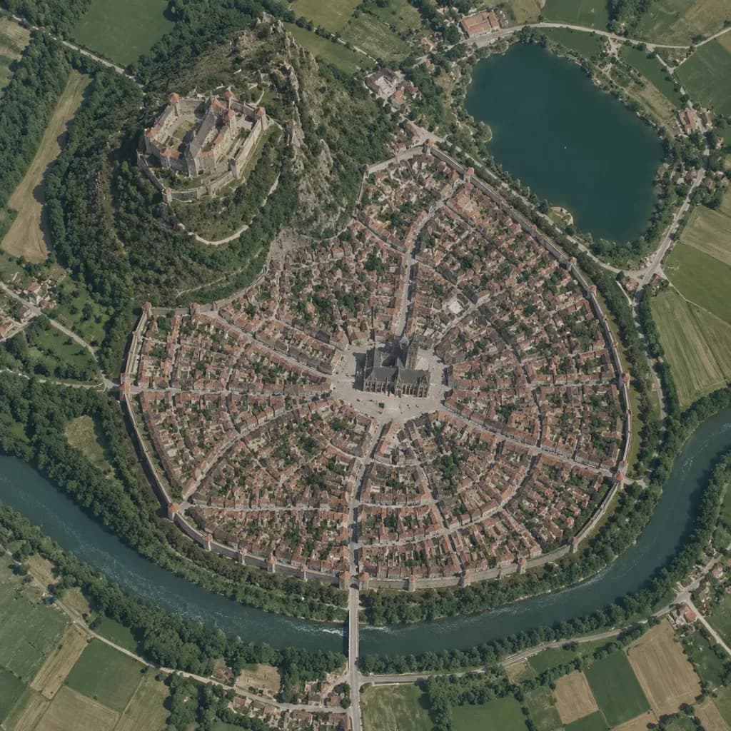
मध्यकालीन शहर का वर्टिकल सैटेलाइट मैप
वर्ल्डबिल्डिंग रेखाचित्रों को गूगल मैप्स जैसी यथार्थवादी सैटेलाइट तस्वीरों में बदलें। किसी भी काल्पनिक शहर का नक्शा बनाने हेतु विवरण बदलें।
प्रॉम्प्ट
A true vertical top-down satellite image resembling a Google Maps capture of [a Central European medieval walled city], rendered in the style of [a realistic photograph resembling a Google Maps satellite view] using the reference photo for landscape details and the reference sketch for the urban layout. Keep five major layout elements clearly recognizable: 1) the walled oval city footprint, 2) the elevated castle district on the upper-left hill, 3) the central cathedral and radial plaza, 4) the lake in the upper-right area, and 5) the river curving around the lower perimeter with a bridge and gate approach. Style: photorealistic satellite photography with natural terrain textures, muted earth tones, dense tiny roof grids, narrow streets, surrounding agricultural fields, realistic water bodies, and natural atmospheric clarity. Strictly top-down nadir perspective with authentic scale and density, with no oblique angles or fantasy illustration elements.
आप क्या बदल सकते हैं
इमेज बनाने से पहले प्रॉम्प्ट के इन हिस्सों को अपने विषय या शब्दों से बदलें।
[a Central European medieval walled city]प्लेसहोल्डर
प्रॉम्प्ट का विवरण
- श्रेणी
- कॉन्सेप्ट आर्ट
- मॉडल
- GPT IMAGE 2
- प्रति इमेज लागत
- 1K: 43 क्रेडिट · 2K: 86 क्रेडिट · 4K: 143 क्रेडिट
- आस्पेक्ट रेशियो
- 1:1
- जोड़ा गया