
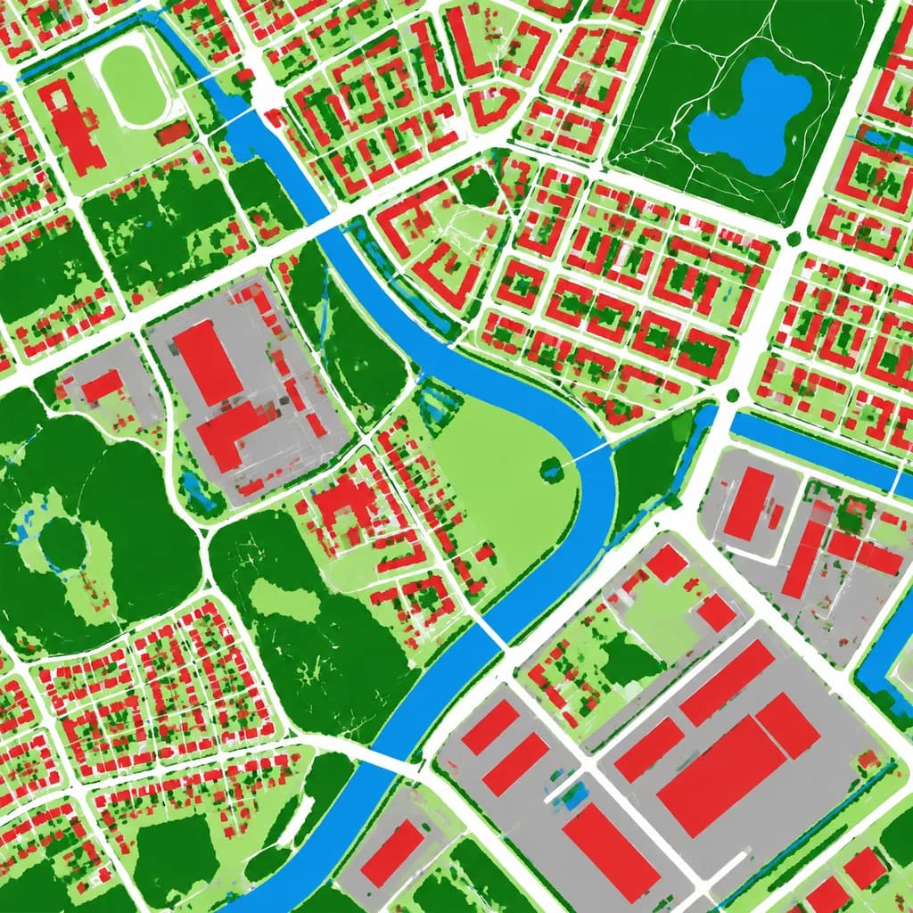
हवाई भूमि आवरण वर्गीकरण मानचित्र
हवाई तस्वीर को एक स्पष्ट फॉल्स-कलर भूमि आवरण वर्गीकरण मानचित्र में बदलता है। अपनी आवश्यकताओं के अनुसार श्रेणियों के रंग अनुकूलित करें।
प्रॉम्प्ट
Using the reference photo as the source geography and urban layout, transform the monochrome aerial photograph into a clean false-color land-cover classification map. Maintain the identical top-down orthographic viewpoint and street/block structure, replacing photographic texture with flat segmented vector-style regions and crisp boundaries. Classify the scene into 6 categories: [buildings as red], [roads and paved corridors as white], [water bodies and canals as blue], [dense vegetation and parks as dark green], [open grass or sparse green areas as light green], and [industrial or open paved facility areas as gray]. High-contrast thematic cartography, flat shading, with no labels, text, legends, borders, or film markings.
आप क्या बदल सकते हैं
इमेज बनाने से पहले प्रॉम्प्ट के इन हिस्सों को अपने विषय या शब्दों से बदलें।
[buildings as red]प्लेसहोल्डर[roads and paved corridors as white]प्लेसहोल्डर[water bodies and canals as blue]प्लेसहोल्डर[dense vegetation and parks as dark green]प्लेसहोल्डर[open grass or sparse green areas as light green]प्लेसहोल्डर[industrial or open paved facility areas as gray]प्लेसहोल्डर
प्रॉम्प्ट का विवरण
- श्रेणी
- इन्फोग्राफ़िक / शिक्षा
- मॉडल
- GPT IMAGE 2
- प्रति इमेज लागत
- 1K: 43 क्रेडिट · 2K: 86 क्रेडिट · 4K: 143 क्रेडिट
- आस्पेक्ट रेशियो
- 1:1
- जोड़ा गया