
الإنفوغرافيك والتعليم
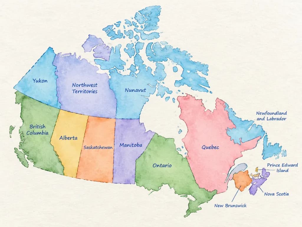
خريطة إدارية بالألوان المائية
ينشئ خريطة مائية أنيقة تبرز التقسيمات الإدارية مع تسميات بخط اليد. استبدل اسم البلد للاستخدام التعليمي.
ألوان مائيةخريطةرسم الخرائطإنفوجرافيكجغرافياتعليمي
المطالبة
A detailed watercolor-style map of [COUNTRY] on lightly textured paper. Soft flowing watercolor washes in distinct, harmonious colors for each first-level administrative division. All federal states, provinces, or regions are accurately separated by clear borders and labeled directly inside their areas in neat blue ballpoint-pen handwriting. Educational infographic style, clean composition, high legibility, subtle paper grain texture, gentle shading, and balanced negative space on a bright, clean background. No cities, roads, flags, logos, or watermarks.
ما يمكنك تخصيصه
قبل الإنشاء، استبدل هذه الأجزاء من المطالبة بموضوعك أو نصك الخاص.
[COUNTRY]عنصر نائب
تفاصيل المطالبة
- النموذج
- Nano Banana 2
- التكلفة لكل صورة
- 1K: 54 رصيد · 2K: 81 رصيد · 4K: 122 رصيد
- نسبة العرض إلى الارتفاع
- 4:3
- تاريخ الإضافة