
الإنفوغرافيك والتعليم
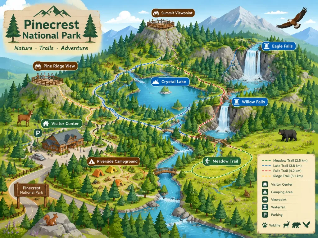
خريطة أيزومترية مصورة لحديقة وطنية
توليد خريطة أيزومترية مصورة تضم مسارات المشي والمعالم والحياة البرية. عدّل بيئة الحديقة والمعالم والمرافق حسب الحاجة.
خريطة أيزومتريةحديقة وطنيةخريطة مصورةمسارات المشيكتيب سياحيحياة برية
المصدر:Jared Liu
المطالبة
A stylized isometric illustrated map of [a national park], designed for a park brochure or website. The map highlights key hiking trails, prominent landmarks such as [waterfalls and scenic viewpoints], [visitor centers], and [camping areas]. Friendly and inviting illustration style featuring miniature local wildlife native to the park scattered across the terrain. Clear, readable composition balancing geographic layout with charming artistic details.
ما يمكنك تخصيصه
قبل الإنشاء، استبدل هذه الأجزاء من المطالبة بموضوعك أو نصك الخاص.
[a national park]عنصر نائب[waterfalls and scenic viewpoints]عنصر نائب[visitor centers]عنصر نائب[camping areas]عنصر نائب
تفاصيل المطالبة
- النموذج
- Seedream 4.5
- التكلفة لكل صورة
- 33 رصيد (2K–4K)
- نسبة العرض إلى الارتفاع
- 4:3
- المنشئ
- Jared Liu
- الترخيص
- CC BY 4.0
- تاريخ الإضافة