
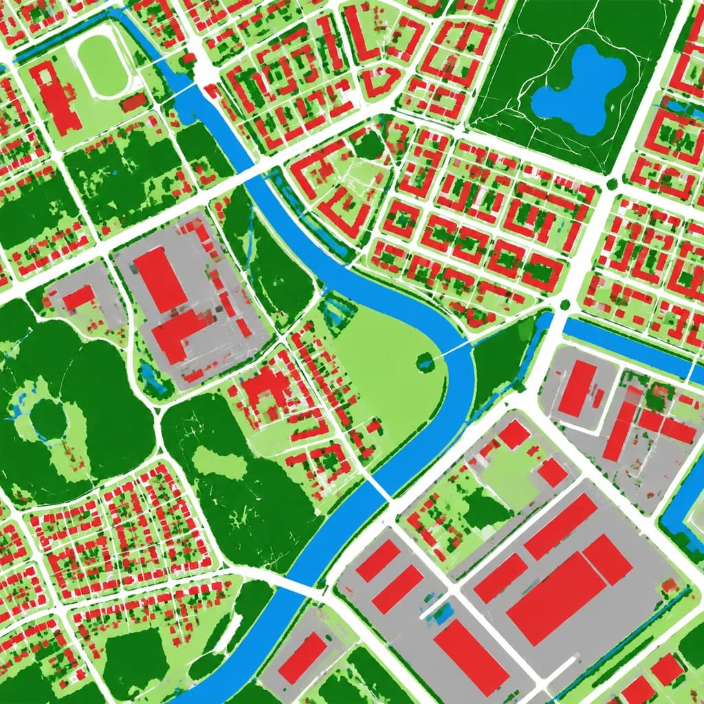
خريطة الغطاء الأرضي الجوية
تحول صورة جوية إلى خريطة تصنيف الغطاء الأرضي بألوان كاذبة. قم بتخصيص ألوان الفئات لتناسب متطلبات رسم الخرائط لديك.
المطالبة
Using the reference photo as the source geography and urban layout, transform the monochrome aerial photograph into a clean false-color land-cover classification map. Maintain the identical top-down orthographic viewpoint and street/block structure, replacing photographic texture with flat segmented vector-style regions and crisp boundaries. Classify the scene into 6 categories: [buildings as red], [roads and paved corridors as white], [water bodies and canals as blue], [dense vegetation and parks as dark green], [open grass or sparse green areas as light green], and [industrial or open paved facility areas as gray]. High-contrast thematic cartography, flat shading, with no labels, text, legends, borders, or film markings.
ما يمكنك تخصيصه
قبل الإنشاء، استبدل هذه الأجزاء من المطالبة بموضوعك أو نصك الخاص.
[buildings as red]عنصر نائب[roads and paved corridors as white]عنصر نائب[water bodies and canals as blue]عنصر نائب[dense vegetation and parks as dark green]عنصر نائب[open grass or sparse green areas as light green]عنصر نائب[industrial or open paved facility areas as gray]عنصر نائب
تفاصيل المطالبة
- النموذج
- GPT IMAGE 2
- التكلفة لكل صورة
- 1K: 43 رصيد · 2K: 86 رصيد · 4K: 143 رصيد
- نسبة العرض إلى الارتفاع
- 1:1
- تاريخ الإضافة